Transport Functions
Rail
Road
Multimodal
Hub Profile
Place type
District seat
Region
Lower Austria
Population
6,557
Time zone
Europe/Vienna
Elevation
320 m
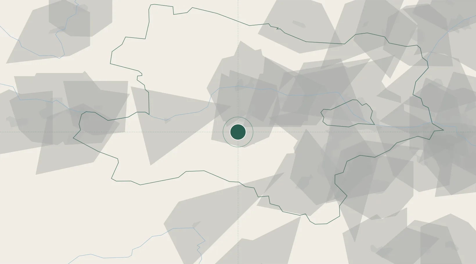
Location
Nearby Logistics Neighbours
Cities
- 1Sankt Georgen am Steinfelden2 km
- 2Weinburg6 km
- 3Lilienfeld10 km
- 4Prinzersdorf13 km
- 5Hainfeld14 km
Ports
- 1Monfalcone301 km
- 2Trieste307 km
- 3Muggia311 km
- 4Koper317 km
- 5Nogaro319 km
Airports
Trade Zones
DatabookThe Record of Consolidated Knowledge
Austria beyond logistics?