Transport Functions
Port
Road
Hub Profile
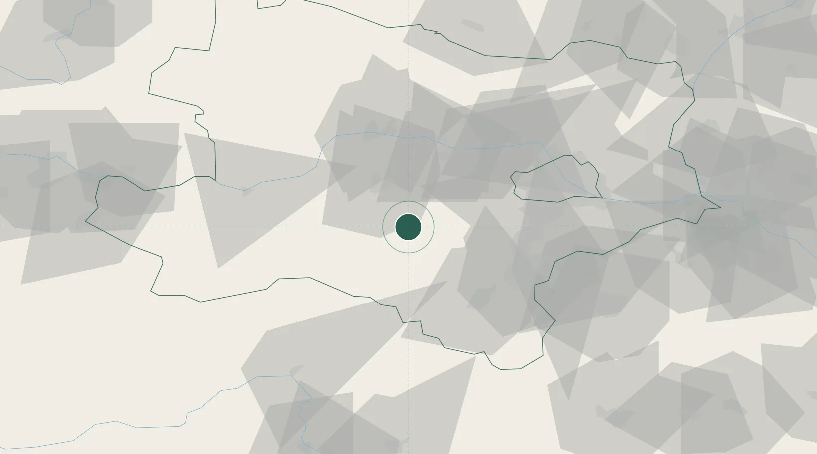
Place type
District seat
Region
Lower Austria
Population
1,926
Time zone
Europe/Vienna
Elevation
423 m
Location
Nearby Logistics Neighbours
Cities
- 1Lilienfeld10 km
- 2Wöllersdorf10 km
- 3Wilhelmsburg14 km
- 4Sankt Georgen am Steinfelden17 km
- 5Böheimkirchen19 km
Ports
- 1Monfalcone302 km
- 2Trieste306 km
- 3Muggia310 km
- 4Koper317 km
- 5Rijeka Luka317 km
Airports
Trade Zones
DatabookThe Record of Consolidated Knowledge
Austria beyond logistics?