Export Processing Zone · Croatia

Sjever Free Zone Active
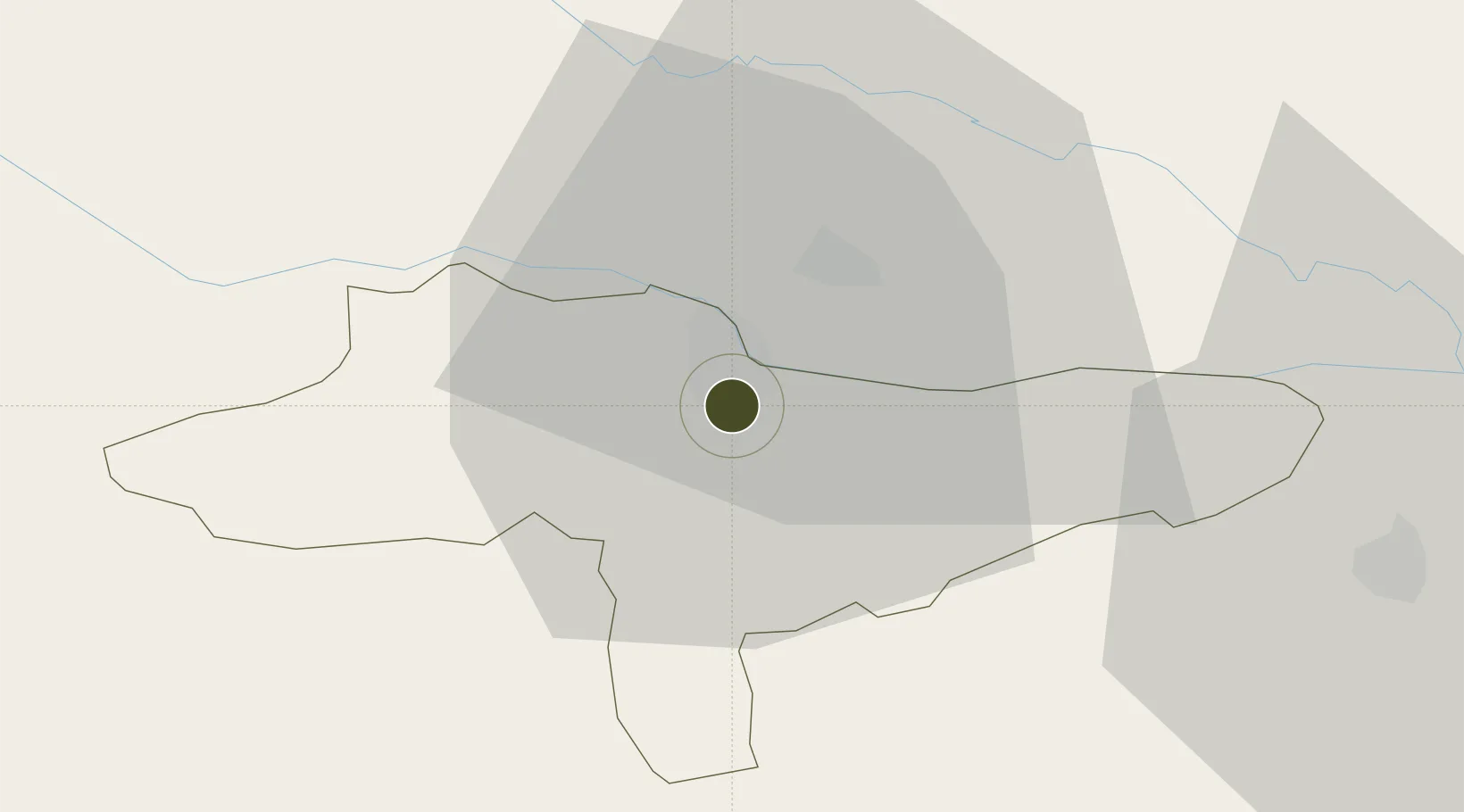
46.2901°, 16.3400°
60 ha
Zone area
178.1 km
Nearest port
54.4 km
Nearest airport

Gateway access

Nearest neighbours — logibook spatial index (haversine) over the source coordinates

Zone profile

Zone type
Export Processing Zone
Open Zone Map
Region
Varaždinska
Open Zone Map
Status
Active
Open Zone Map
Management
Public-Private Partnership
Open Zone Map
Operator
Zona Sjever D.O.O.
Open Zone Map
Legal framework
Free Zones Act (Official Gazette 44/96, 92/05, 85/08), Regulation (EU) No 952/2013 of the European Parliament and of the Council of 9 October 2013 laying down the Union Customs Code (recast)
Open Zone Map

Location

Location of ozm-1727
Natural Earth 10m (public domain) · Varaždinska · ozm-1727 · 46.29, 16.34GoogleOSMYandex

Nearby Logistics Neighbours

Ports
  1. 1Bakar178 km
  2. 2Rijeka Luka182 km
  3. 3Omisalj183 km
  4. 4Senj183 km
  5. 5Trieste213 km
Nearest neighbours — logibook spatial index (haversine) over the source coordinates
Airports
  1. 1Maribor Edvard Rusjan Airport54 km
  2. 2Zagreb Franjo Tuđman International Airport64 km
  3. 3Cerklje ob Krki Air Base76 km
  4. 4Hévíz–Balaton Airport77 km
  5. 5Graz Airport104 km
Nearest neighbours — logibook spatial index (haversine) over the source coordinates
Cities
  1. 1Varazdin1 km
  2. 2Trnovec Bartolovecki3 km
  3. 3Beletinec8 km
  4. 4Beretinec8 km
  5. 5Nedelise9 km
Nearest neighbours — logibook spatial index (haversine) over the source coordinates
Trade Zones
  1. 1Krapina-Zagorje Free Zone39 km
  2. 2PJ Free Zone Zagreb65 km
  3. 3Free Zone Kukuljanovo177 km
  4. 4Duro Daković Free Zone180 km
  5. 5Osijek Free Zone196 km
Nearest neighbours — logibook spatial index (haversine) over the source coordinates
DatabookThe Record of Consolidated Knowledge
Croatia beyond logistics?
Browse databook

All Sources

Trade ZonesOpen Zone Map
CC BY
Portsthe NGA World Port Index
Public domain (US gov)
AirportsOurAirports
Public domain
LocationsUN/LOCODE
UN/LOCODE — free
← Croatia trade zones