Transport Functions
Port
Multimodal
Hub Profile
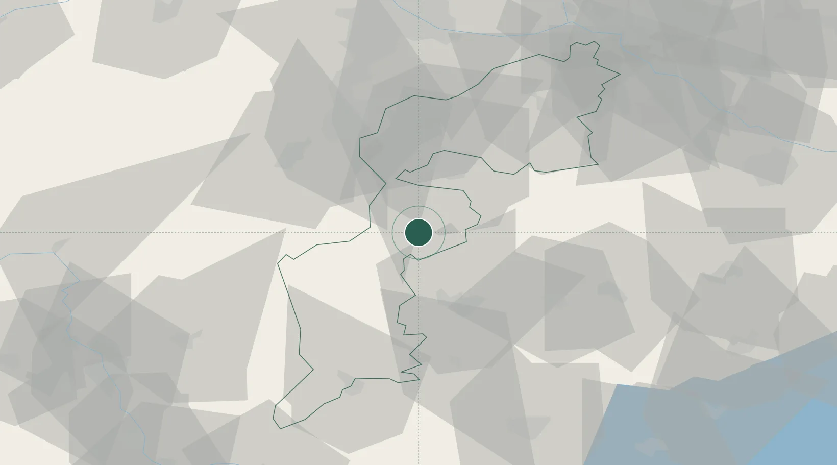
Place type
Populated place
Region
Styria
Time zone
Europe/Vienna
Elevation
383 m
Location
Nearby Logistics Neighbours
Cities
- 1Horitschon12 km
- 2Koszeg13 km
- 3Zsira15 km
- 4Deutschkreutz17 km
- 5Csepreg20 km
Ports
- 1Bakar285 km
- 2Rijeka Luka286 km
- 3Trieste292 km
- 4Omisalj293 km
- 5Monfalcone293 km
Airports
- 1Wiener Neustadt East Airport43 km
- 2Wiener Neustadt West Airport44 km
- 3Vienna International Airport70 km
- 4M. R. Štefánik Airport94 km
- 5Graz Airport96 km
Trade Zones
- 1Sjever Free Zone133 km
- 2Krapina-Zagorje Free Zone155 km
- 3Veselí nad Moravou Industrial Zone177 km
- 4Černovická Terasa Industrial Zone188 km
- 5PJ Free Zone Zagreb193 km
DatabookThe Record of Consolidated Knowledge
Austria beyond logistics?