Transport Functions
Rail
Road
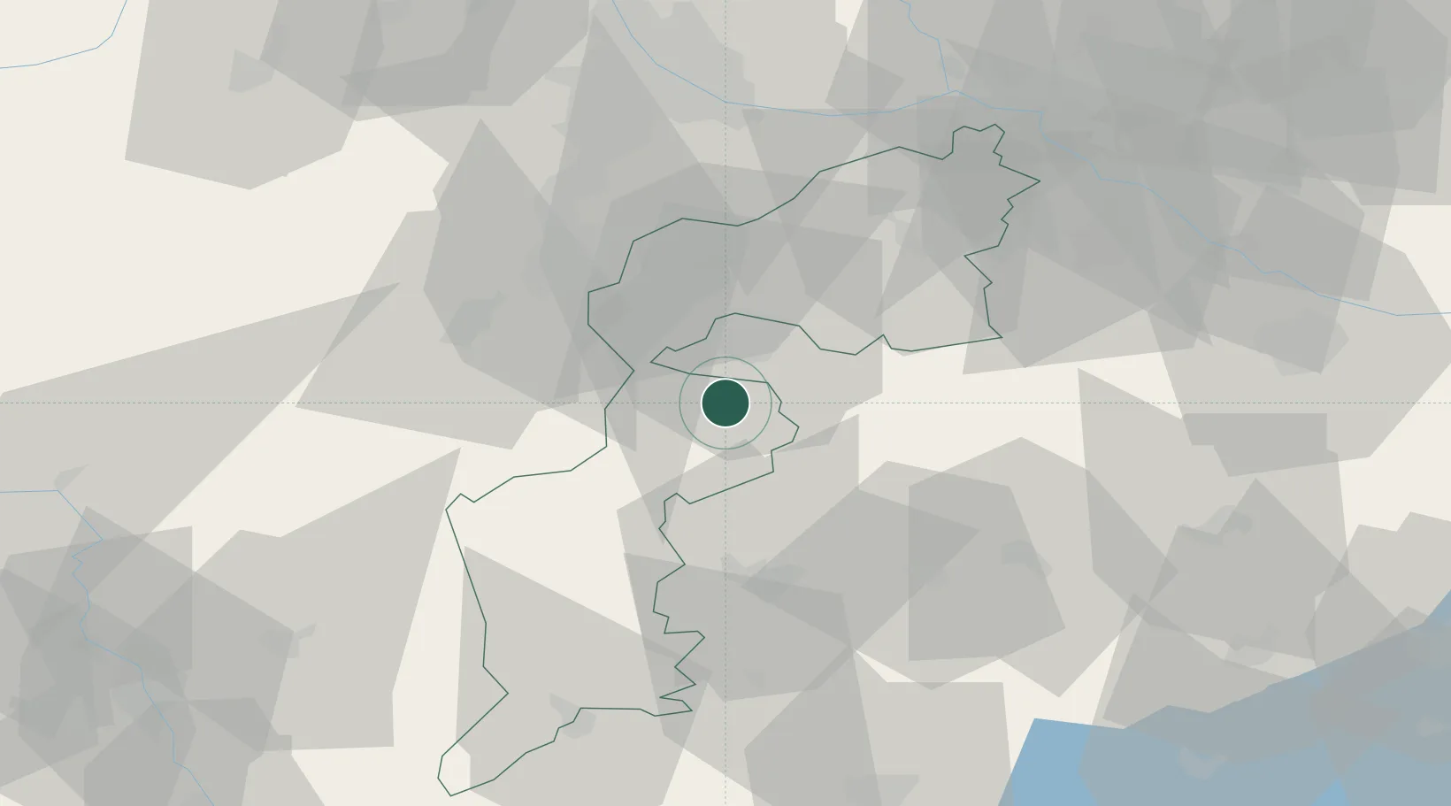
Hub Profile
Place type
District seat
Region
Burgenland
Population
1,385
Time zone
Europe/Vienna
Elevation
241 m
Location
Nearby Logistics Neighbours
Cities
- 1Deutschkreutz7 km
- 2Agfalva11 km
- 3Steinberg12 km
- 4Sopronkovesd16 km
- 5Rohrbach bei Mattersburg18 km
Ports
- 1Bakar297 km
- 2Rijeka Luka298 km
- 3Trieste303 km
- 4Monfalcone304 km
- 5Omisalj305 km
Airports
Trade Zones
- 1Sjever Free Zone145 km
- 2Veselí nad Moravou Industrial Zone164 km
- 3Krapina-Zagorje Free Zone167 km
- 4Černovická Terasa Industrial Zone177 km
- 5Göd Special Economic Zone196 km
DatabookThe Record of Consolidated Knowledge
Austria beyond logistics?