Transport Functions
Port
Multimodal
Hub Profile
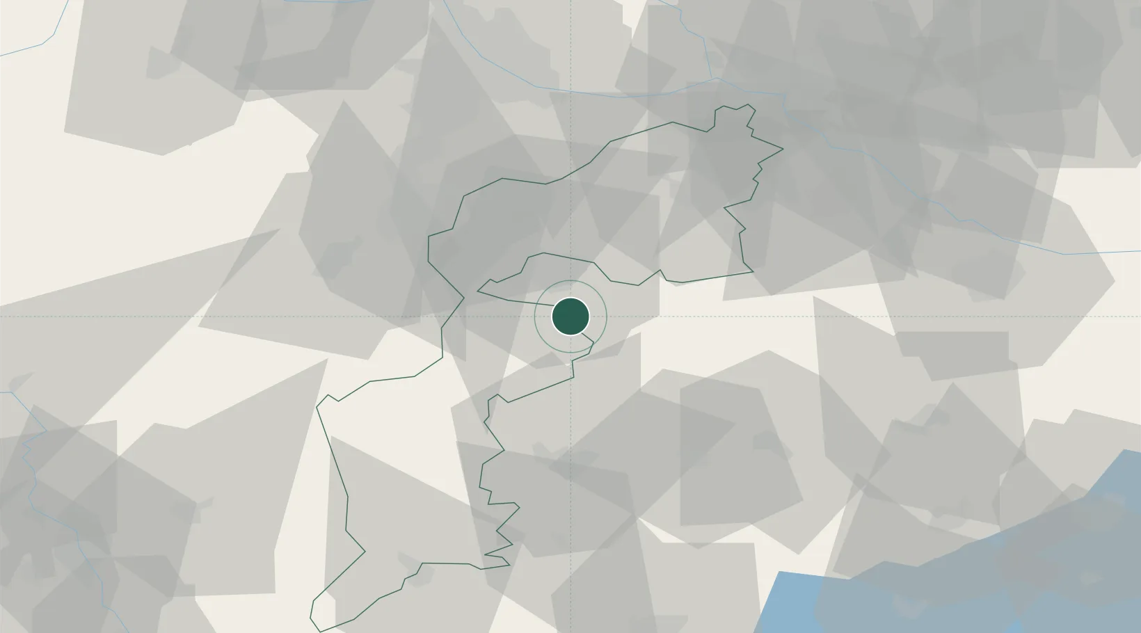
Place type
District seat
Region
Burgenland
Population
2,791
Time zone
Europe/Vienna
Elevation
180 m
Location
Nearby Logistics Neighbours
Cities
- 1Horitschon7 km
- 2Sopronkovesd10 km
- 3Agfalva13 km
- 4Morbisch am See17 km
- 5Steinberg17 km
Ports
- 1Bakar302 km
- 2Rijeka Luka303 km
- 3Trieste309 km
- 4Omisalj309 km
- 5Monfalcone310 km
Airports
Trade Zones
- 1Sjever Free Zone147 km
- 2Veselí nad Moravou Industrial Zone160 km
- 3Krapina-Zagorje Free Zone171 km
- 4Černovická Terasa Industrial Zone175 km
- 5Göd Special Economic Zone190 km
DatabookThe Record of Consolidated Knowledge
Austria beyond logistics?