Transport Functions
Rail
Road
Hub Profile
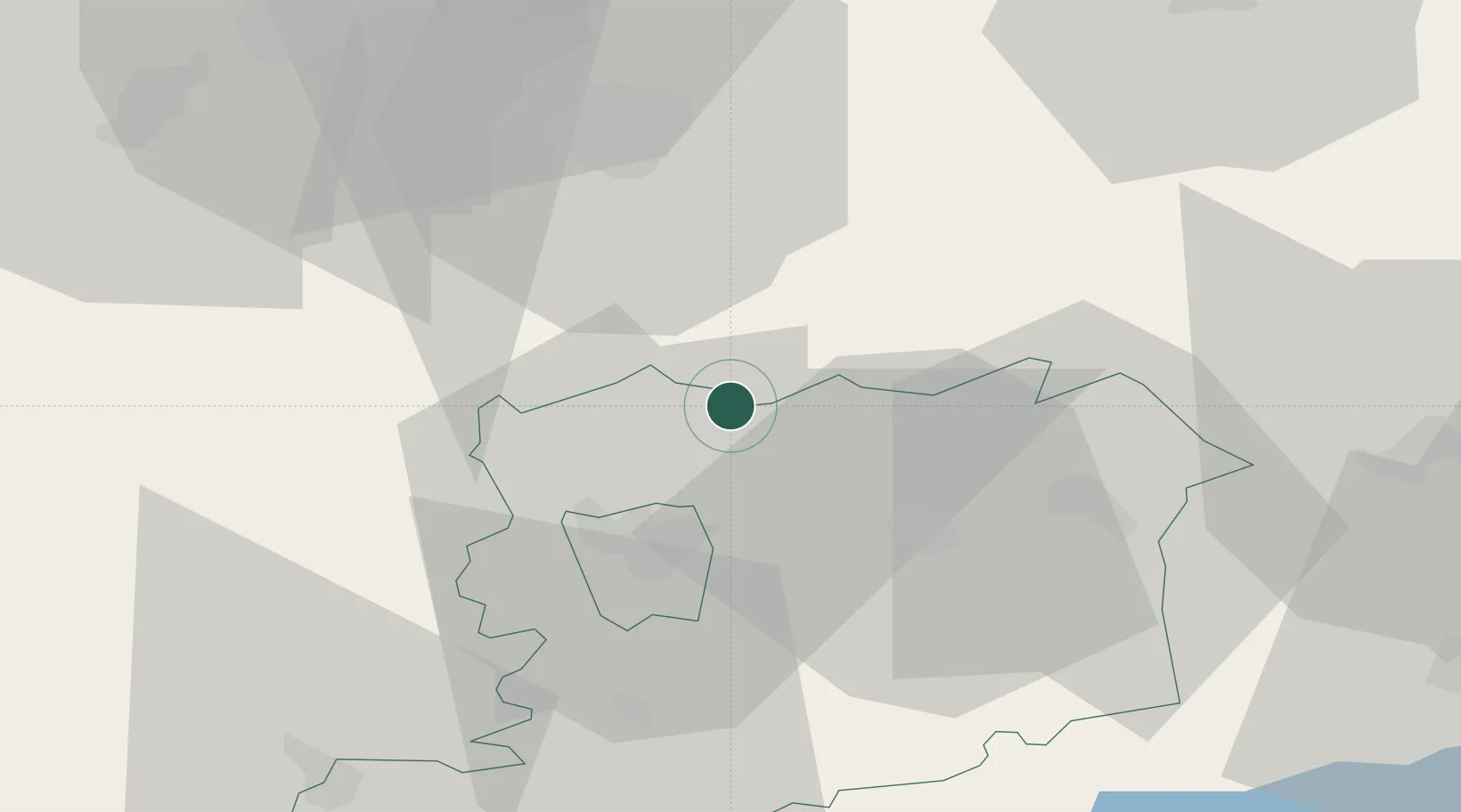
Place type
Populated place
Region
Vas County
Population
3,241
Time zone
Europe/Budapest
Elevation
180 m
Location
Nearby Logistics Neighbours
Cities
- 1Zsira5 km
- 2Hegyfalu14 km
- 3Sopronkovesd17 km
- 4Steinberg20 km
- 5Deutschkreutz23 km
Ports
- 1Bakar287 km
- 2Rijeka Luka289 km
- 3Omisalj294 km
- 4Trieste299 km
- 5Monfalcone301 km
Airports
Trade Zones
- 1Sjever Free Zone127 km
- 2Krapina-Zagorje Free Zone153 km
- 3Veselí nad Moravou Industrial Zone180 km
- 4Göd Special Economic Zone187 km
- 5PJ Free Zone Zagreb189 km
DatabookThe Record of Consolidated Knowledge
Hungary beyond logistics?