Transport Functions
Rail
Road
Hub Profile
Place type
Provincial seat
Region
Vas County
Population
11,500
Time zone
Europe/Budapest
Elevation
277 m
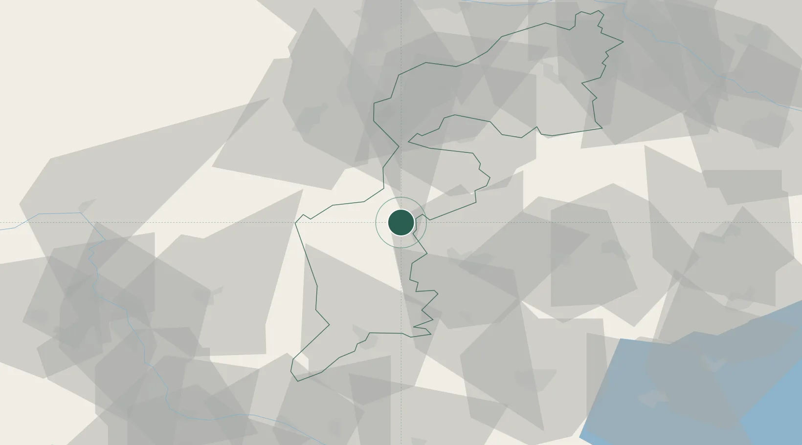
Location
Nearby Logistics Neighbours
Cities
- 1Steinberg13 km
- 2Riedlingsdorf19 km
- 3Pinkafeld20 km
- 4Zsira22 km
- 5Kohfidisch24 km
Ports
- 1Bakar272 km
- 2Rijeka Luka273 km
- 3Trieste279 km
- 4Omisalj279 km
- 5Monfalcone280 km
Airports
- 1Wiener Neustadt West Airport52 km
- 2Wiener Neustadt East Airport52 km
- 3Vienna International Airport82 km
- 4Graz Airport84 km
- 5Hévíz–Balaton Airport97 km
Trade Zones
- 1Sjever Free Zone122 km
- 2Krapina-Zagorje Free Zone142 km
- 3PJ Free Zone Zagreb180 km
- 4Veselí nad Moravou Industrial Zone190 km
- 5Černovická Terasa Industrial Zone200 km
DatabookThe Record of Consolidated Knowledge
Hungary beyond logistics?