Large airport · Austria
Graz AirportLOWG
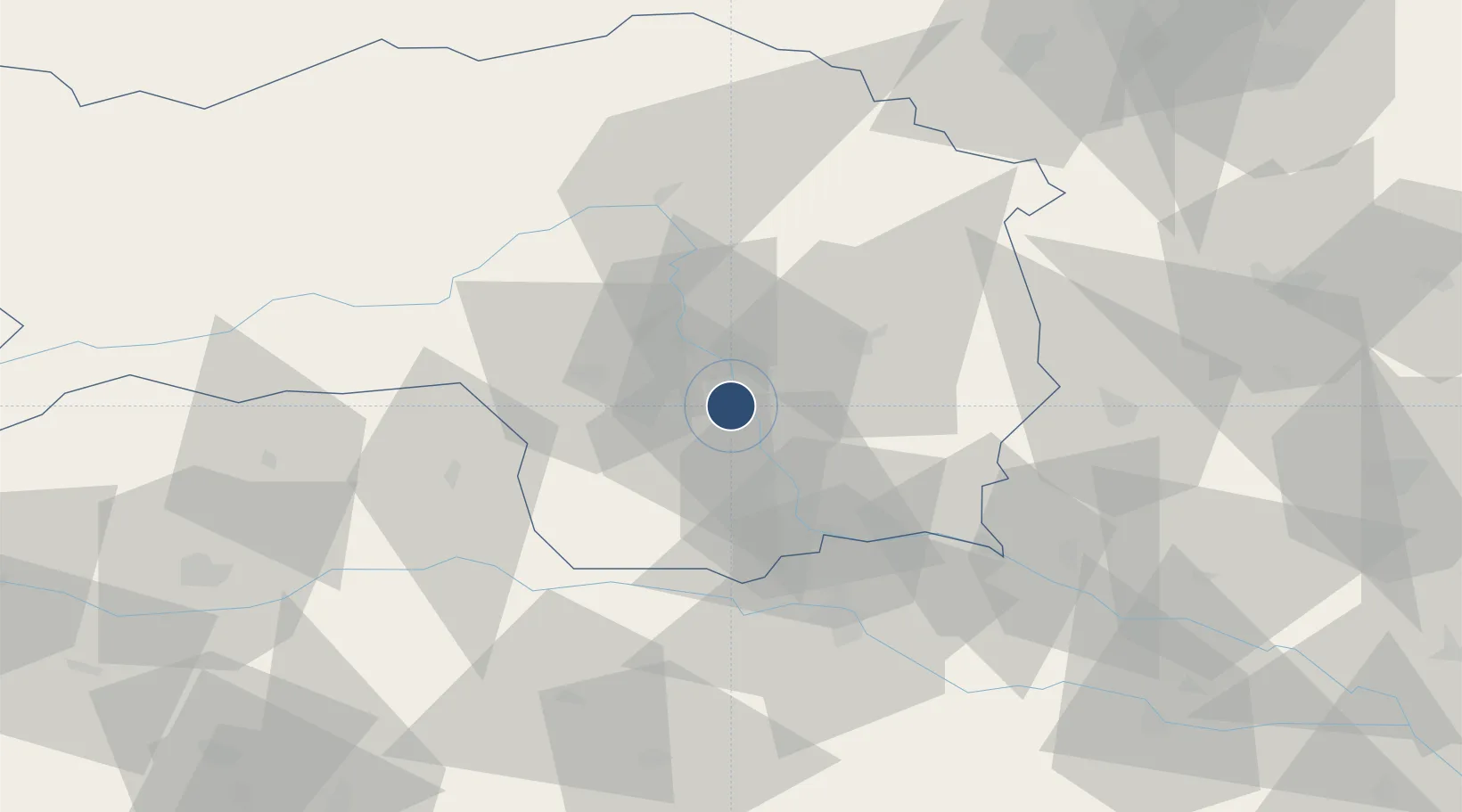
46.9911°, 15.4396°
9,842 ft
Longest runway
3
Runways
1,115 ft
Elevation
Runway & Layout

Radio Frequencies
ATIS
126.125 MHz
TWR
118.2 MHz
APP
119.3 MHz
Runways · 3
| Runway | Dimensions | Surface | True heading | Lit |
|---|---|---|---|---|
| 16C/34C | 9,842 × 148ft | Asphalt | 164° | ✓ |
| 16R/34L | 2,493 × 82ft | Grass | 169° | — |
| 16L/34R | 2,100 × 98ft | Grass | 169° | — |
Airport Specifications
IATA code
GRZ
ICAO code
LOWG
Airport class
Large airport
Scheduled service
Yes
Runway surface
Asphalt
Served city
Feldkirchen bei Graz
Location
Nearby Logistics Neighbours
Airports
- 1Hinterstoisser Air Base58 km
- 2Maribor Edvard Rusjan Airport60 km
- 3Klagenfurt Airport92 km
- 4Wiener Neustadt West Airport111 km
- 5Wiener Neustadt East Airport113 km
Cities
- 1Neupirka2 km
- 2Feldkirchen bei Graz3 km
- 3Seiersberg3 km
- 4Gössendorf3 km
- 5Raaba4 km
Ports
- 1Monfalcone198 km
- 2Trieste198 km
- 3Rijeka Luka200 km
- 4Bakar201 km
- 5Muggia201 km
Trade Zones
- 1Krapina-Zagorje Free Zone99 km
- 2Sjever Free Zone104 km
- 3PJ Free Zone Zagreb137 km
- 4Free Zone Kukuljanovo198 km
- 5Free Port of Trieste198 km
DatabookThe Record of Consolidated Knowledge
Austria beyond logistics?