Transport Functions
Port
Hub Profile
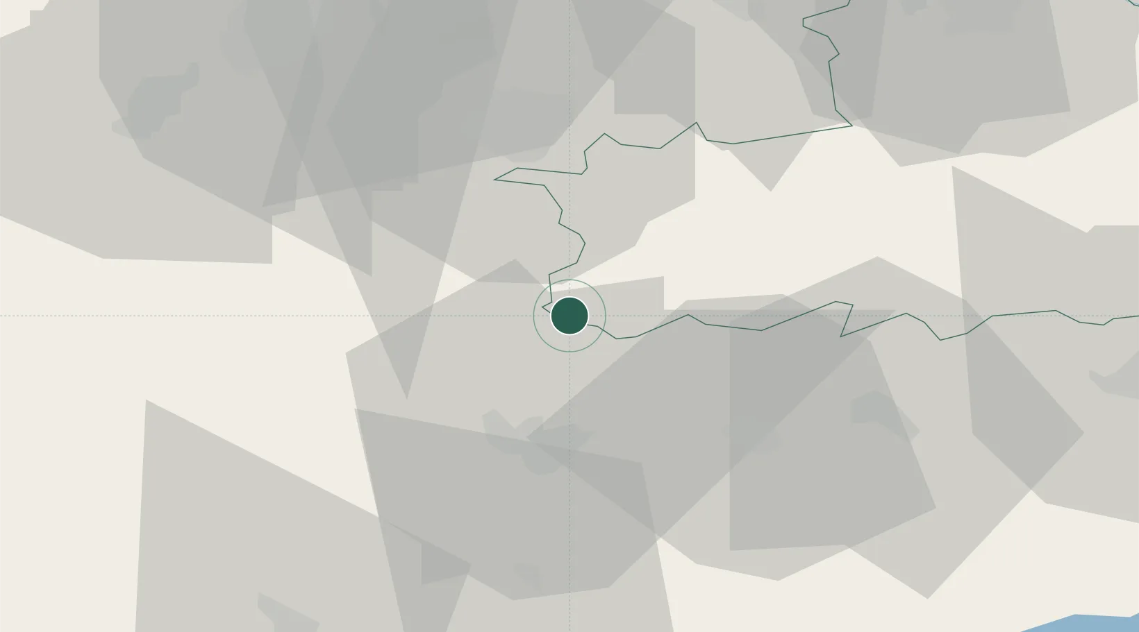
Place type
Populated place
Region
Győr-Moson-Sopron
Population
761
Time zone
Europe/Budapest
Elevation
197 m
Location
Nearby Logistics Neighbours
Cities
- 1Csepreg5 km
- 2Sopronkovesd14 km
- 3Steinberg15 km
- 4Deutschkreutz19 km
- 5Hegyfalu19 km
Ports
- 1Bakar288 km
- 2Rijeka Luka290 km
- 3Omisalj295 km
- 4Trieste299 km
- 5Monfalcone301 km
Airports
Trade Zones
- 1Sjever Free Zone130 km
- 2Krapina-Zagorje Free Zone155 km
- 3Veselí nad Moravou Industrial Zone177 km
- 4Göd Special Economic Zone190 km
- 5PJ Free Zone Zagreb191 km
DatabookThe Record of Consolidated Knowledge
Hungary beyond logistics?