Transport Functions
Port
Rail
Road
Hub Profile
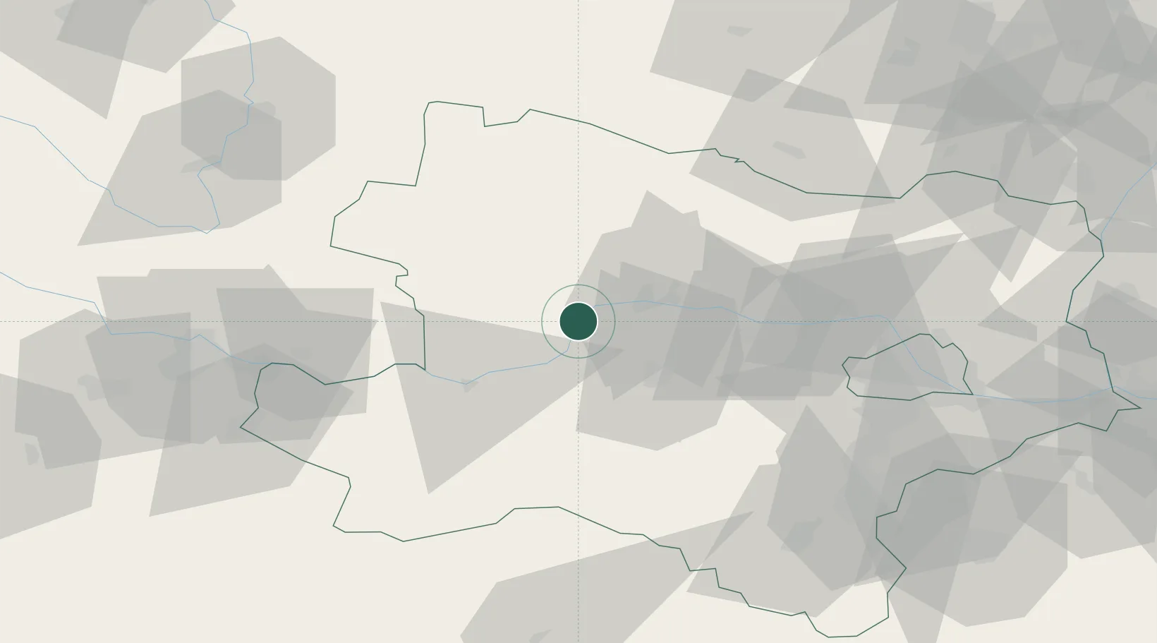
Place type
District seat
Region
Lower Austria
Population
1,270
Time zone
Europe/Vienna
Elevation
223 m
Location
Nearby Logistics Neighbours
Cities
- 1Joching3 km
- 2Ruhrsdorf7 km
- 3Dürnstein8 km
- 4Unterloiben9 km
- 5Kottes10 km
Ports
- 1Monfalcone320 km
- 2Trieste327 km
- 3Muggia332 km
- 4Nogaro336 km
- 5Grado338 km
Airports
Trade Zones
DatabookThe Record of Consolidated Knowledge
Austria beyond logistics?