Transport Functions
Road
Multimodal
Hub Profile
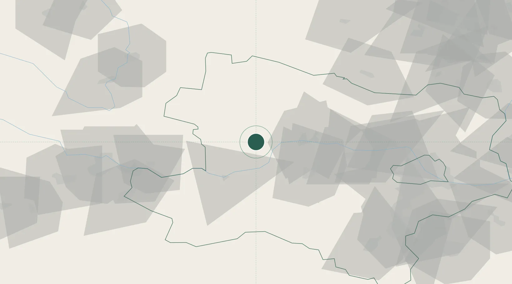
Place type
Populated place
Region
Lower Austria
Population
398
Time zone
Europe/Vienna
Elevation
717 m
Location
Nearby Logistics Neighbours
Cities
- 1Spitz10 km
- 2Joching12 km
- 3Ruhrsdorf15 km
- 4Dürnstein16 km
- 5Unterloiben18 km
Ports
- 1Monfalcone321 km
- 2Trieste329 km
- 3Muggia334 km
- 4Nogaro337 km
- 5Grado338 km
Airports
Trade Zones
DatabookThe Record of Consolidated Knowledge
Austria beyond logistics?