Large airport · Austria

Linz-Hörsching AirportLOWL
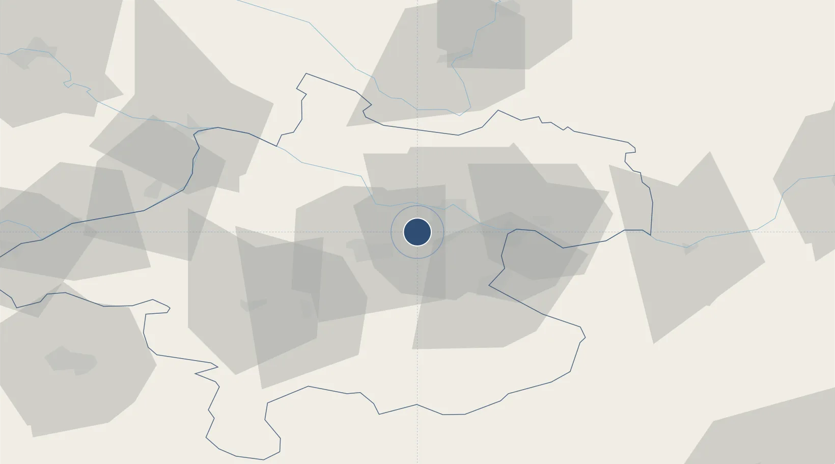
48.2354°, 14.1881°
9,843 ft
Longest runway
3
Runways
980 ft
Elevation

Runway & Layout

Linz-Hörsching Airport runway & taxiway layout
Runway & taxiway layout — OpenStreetMap (ODbL) / OurAirports

Radio Frequencies

ATIS
128.12 MHz
TWR
118.8 MHz
APP
129.62 MHz
RADAR
A/D
119.75 MHz
Linz Radar
OurAirports

Runways · 3

RunwayDimensions SurfaceTrue headingLit
08/26 9,843 × 197ft Asphalt 087°
08E/26E 2,165 × 148ft Grass 087°
07H/25H Grass
OurAirports

Airport Specifications

IATA code
LNZ
OurAirports
ICAO code
LOWL
OurAirports
Airport class
Large airport
OurAirports
Scheduled service
Yes
OurAirports
Runway surface
Asphalt
OurAirports
Served city
Linz
OurAirports

Location

Location of LOWL
Natural Earth 10m (public domain) · Oberösterreich · LOWL · 48.24, 14.19GoogleOSMYandex

Nearby Logistics Neighbours

Airports
  1. 1České Budějovice South Bohemian Airport81 km
  2. 2Salzburg Airport101 km
  3. 3Hinterstoisser Air Base122 km
  4. 4Wiener Neustadt West Airport158 km
  5. 5Wiener Neustadt East Airport160 km
Nearest neighbours — logibook spatial index (haversine) over the source coordinates
Cities
  1. 1Hörsching0 km
  2. 2Oftering4 km
  3. 3Ansfelden8 km
  4. 4Merchtrenk9 km
  5. 5Ottensheim11 km
Nearest neighbours — logibook spatial index (haversine) over the source coordinates
Ports
  1. 1Monfalcone277 km
  2. 2Nogaro286 km
  3. 3Trieste289 km
  4. 4Grado290 km
  5. 5Muggia295 km
Nearest neighbours — logibook spatial index (haversine) over the source coordinates
Trade Zones
  1. 1Freeport of Deggendorf117 km
  2. 2Světlá nad Sázavou Municipal Industrial Zone183 km
  3. 3Industrial Zone Kutna Hora205 km
  4. 4Černovická Terasa Industrial Zone210 km
  5. 5Kolín - Ovčáry Industrial Zone218 km
Nearest neighbours — logibook spatial index (haversine) over the source coordinates
DatabookThe Record of Consolidated Knowledge
Austria beyond logistics?
Browse databook

All Sources

AirportsOurAirports
Public domain
Portsthe NGA World Port Index
Public domain (US gov)
LocationsUN/LOCODE
UN/LOCODE — free
Trade Zonesthe World Bank SEZ database
CC BY 4.0
Trade ZonesOpen Zone Map
CC BY
InfrastructureOpenStreetMap
ODbL 1.0
← Austria airports