Transport Functions
Port
Rail
Road
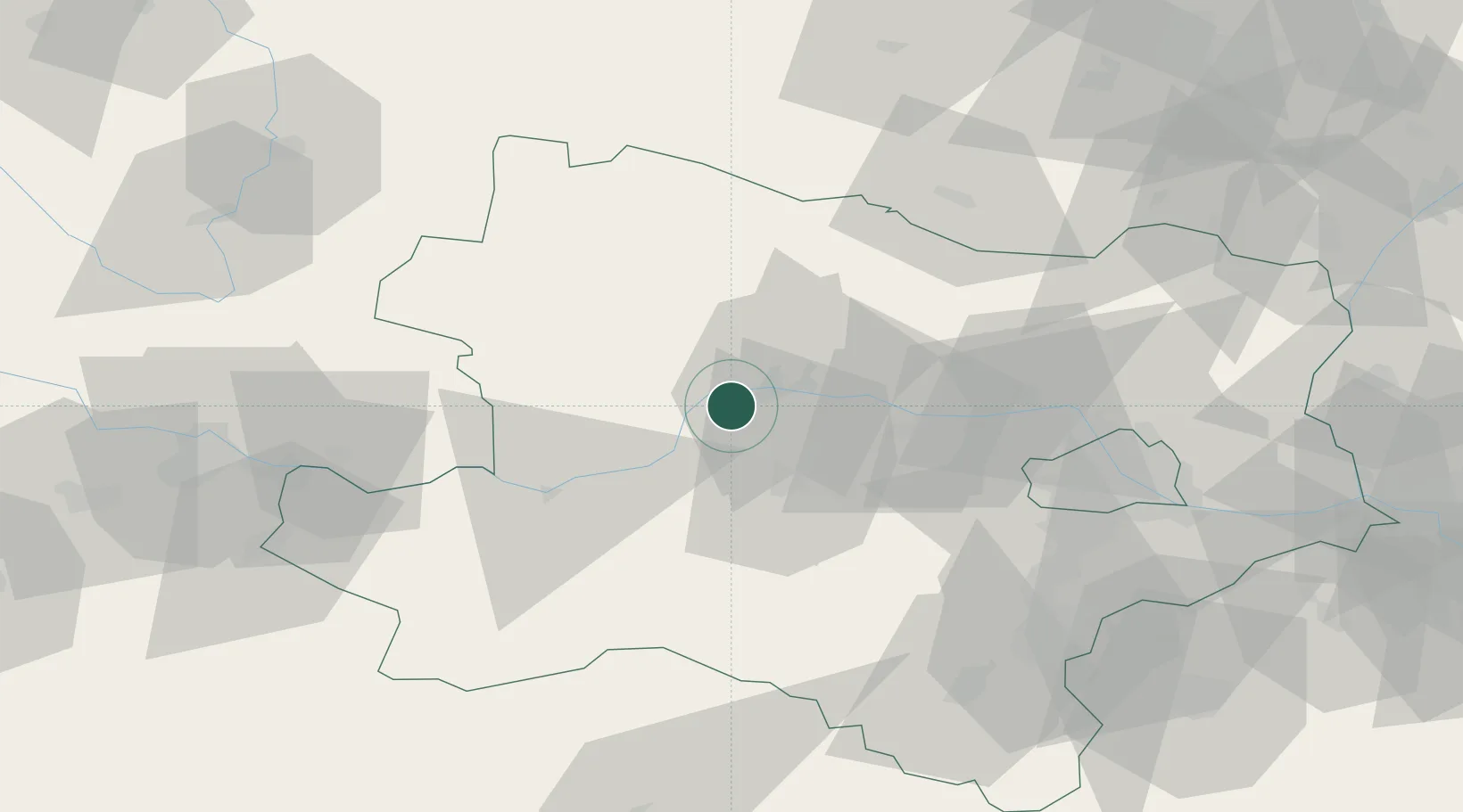
Location
Nearby Logistics Neighbours
Cities
- 1Unterloiben1 km
- 2Ruhrsdorf2 km
- 3Joching5 km
- 4Senftenberg6 km
- 5Spitz8 km
Ports
- 1Monfalcone325 km
- 2Trieste332 km
- 3Muggia337 km
- 4Nogaro342 km
- 5Grado343 km
Airports
- 1Wiener Neustadt West Airport80 km
- 2Wiener Neustadt East Airport82 km
- 3Vienna International Airport84 km
- 4Náměšť Air Base98 km
- 5Linz-Hörsching Airport100 km
Trade Zones
DatabookThe Record of Consolidated Knowledge
Austria beyond logistics?