Large airport · Czechia

České Budějovice South Bohemian AirportLKCS
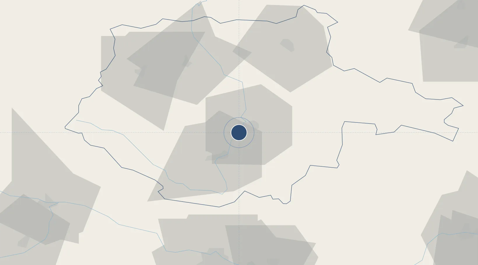
48.9482°, 14.4283°
8,202 ft
Longest runway
1
Runways
1,417 ft
Elevation

Runway & Layout

České Budějovice South Bohemian Airport runway & taxiway layout
Runway & taxiway layout — OpenStreetMap (ODbL) / OurAirports

Radio Frequencies

AFIS
129.25 MHz
INFO
RADIO
135.93 MHz
OurAirports

Navaids

R NDB Ceske Budejovice 830 kHz
RA NDB Ceske Budejovice 402 kHz
OurAirports

Runways · 1

RunwayDimensions SurfaceTrue headingLit
09/27 8,202 × 262ft Concrete 090°
OurAirports

Airport Specifications

IATA code
JCL
OurAirports
ICAO code
LKCS
OurAirports
Airport class
Large airport
OurAirports
Scheduled service
Yes
OurAirports
Runway surface
Concrete
OurAirports
Served city
České Budějovice
OurAirports

Location

Location of LKCS
Natural Earth 10m (public domain) · Jihočeský · LKCS · 48.95, 14.43GoogleOSMYandex

Nearby Logistics Neighbours

Airports
  1. 1Linz-Hörsching Airport81 km
  2. 2Plzeň-Líně Airport116 km
  3. 3Náměšť Air Base126 km
  4. 4Václav Havel Airport Prague129 km
  5. 5Čáslav Air Base130 km
Nearest neighbours — logibook spatial index (haversine) over the source coordinates
Cities
  1. 1Ceské Budejovice5 km
  2. 2Hluboká nad Vltavou11 km
  3. 3Zliv13 km
  4. 4Lisov15 km
  5. 5Cesky Krumlov17 km
Nearest neighbours — logibook spatial index (haversine) over the source coordinates
Ports
  1. 1Monfalcone358 km
  2. 2Nogaro367 km
  3. 3Trieste370 km
  4. 4Grado371 km
  5. 5Muggia376 km
Nearest neighbours — logibook spatial index (haversine) over the source coordinates
Trade Zones
  1. 1Světlá nad Sázavou Municipal Industrial Zone108 km
  2. 2Freeport of Deggendorf112 km
  3. 3Industrial Zone Kutna Hora126 km
  4. 4Kolín - Ovčáry Industrial Zone137 km
  5. 5Pardubice City Industrial Zone156 km
Nearest neighbours — logibook spatial index (haversine) over the source coordinates
DatabookThe Record of Consolidated Knowledge
Czechia beyond logistics?
Browse databook

All Sources

AirportsOurAirports
Public domain
Portsthe NGA World Port Index
Public domain (US gov)
LocationsUN/LOCODE
UN/LOCODE — free
Trade Zonesthe World Bank SEZ database
CC BY 4.0
Trade ZonesOpen Zone Map
CC BY
InfrastructureOpenStreetMap
ODbL 1.0
← Czechia airports