Transport Functions
Rail
Road
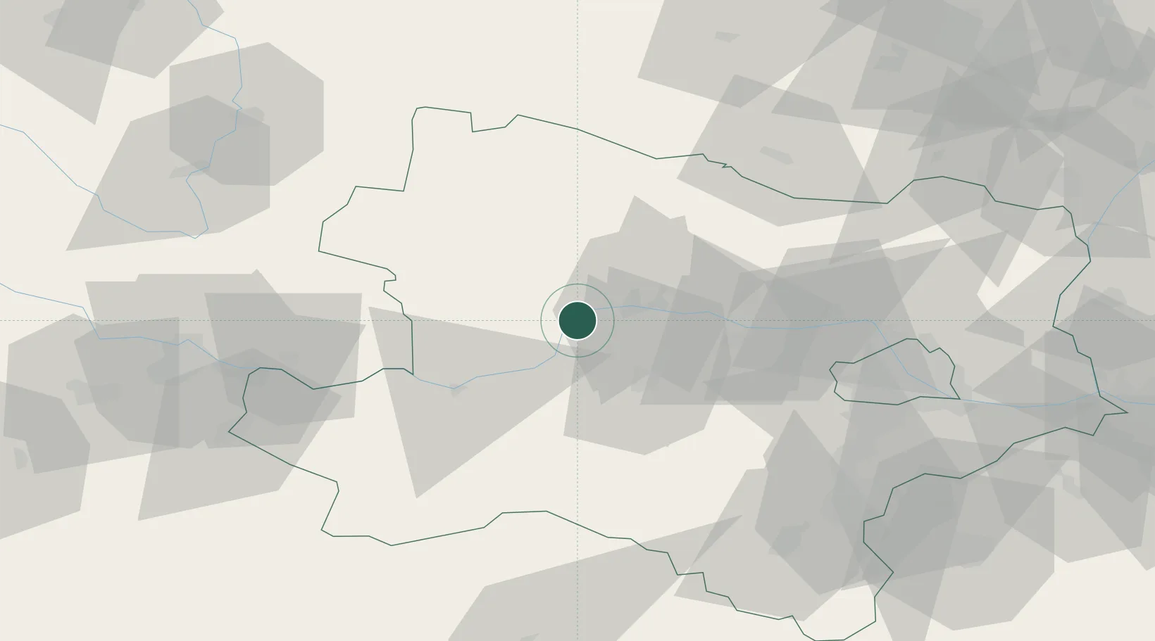
Hub Profile
Place type
Populated place
Region
Lower Austria
Population
169
Time zone
Europe/Vienna
Elevation
233 m
Location
Nearby Logistics Neighbours
Cities
- 1Spitz3 km
- 2Ruhrsdorf4 km
- 3Dürnstein5 km
- 4Unterloiben6 km
- 5Senftenberg9 km
Ports
- 1Monfalcone323 km
- 2Trieste330 km
- 3Muggia335 km
- 4Nogaro339 km
- 5Grado340 km
Airports
Trade Zones
DatabookThe Record of Consolidated Knowledge
Austria beyond logistics?