Transport Functions
Rail
Road
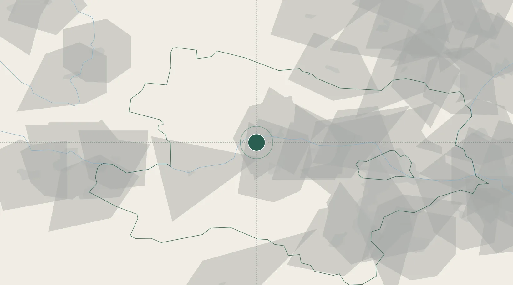
Hub Profile
Place type
Populated place
Region
Lower Austria
Population
319
Time zone
Europe/Vienna
Elevation
203 m
Location
Nearby Logistics Neighbours
Cities
- 1Dürnstein1 km
- 2Ruhrsdorf3 km
- 3Senftenberg6 km
- 4Joching6 km
- 5Dross8 km
Ports
- 1Monfalcone326 km
- 2Trieste333 km
- 3Muggia337 km
- 4Nogaro342 km
- 5Grado343 km
Airports
- 1Wiener Neustadt West Airport79 km
- 2Wiener Neustadt East Airport81 km
- 3Vienna International Airport83 km
- 4Náměšť Air Base97 km
- 5Linz-Hörsching Airport101 km
Trade Zones
DatabookThe Record of Consolidated Knowledge
Austria beyond logistics?