UN/LOCODE hub · Austria
ATRRF

Ruhrsdorf

48.4000°, 15.5000°
1
Transport functions

Transport Functions

Port
UN/LOCODE

Hub Profile

Region
3
GeoNames

Location

Location of ATRRF
Natural Earth 10m (public domain) · 3 · ATRRF · 48.40, 15.50GoogleOSMYandex

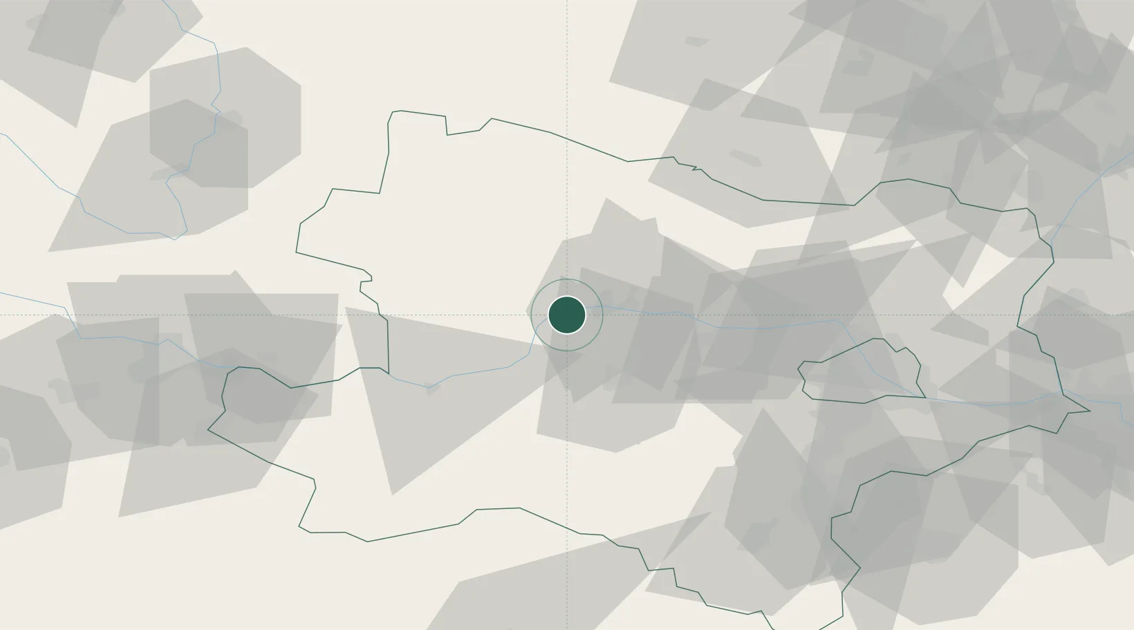
Nearby Logistics Neighbours

Cities
  1. 1Dürnstein2 km
  2. 2Unterloiben3 km
  3. 3Joching4 km
  4. 4Senftenberg5 km
  5. 5Spitz7 km
Nearest neighbours — logibook spatial index (haversine) over the source coordinates
Ports
  1. 1Monfalcone326 km
  2. 2Trieste333 km
  3. 3Muggia338 km
  4. 4Nogaro343 km
  5. 5Grado344 km
Nearest neighbours — logibook spatial index (haversine) over the source coordinates
Airports
  1. 1Wiener Neustadt West Airport82 km
  2. 2Wiener Neustadt East Airport84 km
  3. 3Vienna International Airport86 km
  4. 4Náměšť Air Base97 km
  5. 5Linz-Hörsching Airport99 km
Nearest neighbours — logibook spatial index (haversine) over the source coordinates
Trade Zones
  1. 1Černovická Terasa Industrial Zone122 km
  2. 2Světlá nad Sázavou Municipal Industrial Zone141 km
  3. 3Veselí nad Moravou Industrial Zone151 km
  4. 4Industrial Zone Kutna Hora172 km
  5. 5Holešov Industrial Zone182 km
Nearest neighbours — logibook spatial index (haversine) over the source coordinates
DatabookThe Record of Consolidated Knowledge
Austria beyond logistics?
Browse databook

All Sources

LocationsUN/LOCODE
UN/LOCODE — free
Portsthe NGA World Port Index
Public domain (US gov)
AirportsOurAirports
Public domain
Trade Zonesthe World Bank SEZ database
CC BY 4.0
Trade ZonesOpen Zone Map
CC BY
← Austria locations