UN/LOCODE hub · Austria
ATSIG

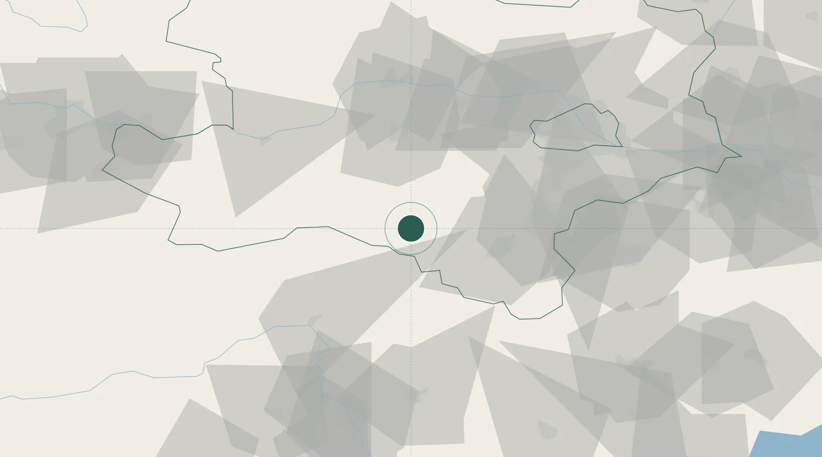
Schwarzau im Gebirge

47.8167°, 15.7000°
169
Population
2
Transport functions

Transport Functions

Rail
Road
UN/LOCODE

Hub Profile

Place type
District seat
GeoNames
Region
Lower Austria
GeoNames
Population
169
GeoNames
Time zone
Europe/Vienna
GeoNames
Elevation
610 m
GeoNames

Location

Location of ATSIG
Natural Earth 10m (public domain) · Lower Austria · ATSIG · 47.82, 15.70GoogleOSMYandex

Nearby Logistics Neighbours

Cities
  1. 1Gutenstein15 km
  2. 2Hirschwang16 km
  3. 3Lilienfeld23 km
  4. 4Wimpassing im Schwarzatale24 km
  5. 5Mürzzuschlag24 km
Nearest neighbours — logibook spatial index (haversine) over the source coordinates
Ports
  1. 1Monfalcone279 km
  2. 2Trieste283 km
  3. 3Muggia287 km
  4. 4Rijeka Luka293 km
  5. 5Koper293 km
Nearest neighbours — logibook spatial index (haversine) over the source coordinates
Airports
  1. 1Wiener Neustadt West Airport39 km
  2. 2Wiener Neustadt East Airport42 km
  3. 3Vienna International Airport73 km
  4. 4Graz Airport94 km
  5. 5Hinterstoisser Air Base99 km
Nearest neighbours — logibook spatial index (haversine) over the source coordinates
Trade Zones
  1. 1Černovická Terasa Industrial Zone167 km
  2. 2Sjever Free Zone177 km
  3. 3Veselí nad Moravou Industrial Zone177 km
  4. 4Krapina-Zagorje Free Zone186 km
  5. 5Světlá nad Sázavou Municipal Industrial Zone207 km
Nearest neighbours — logibook spatial index (haversine) over the source coordinates
DatabookThe Record of Consolidated Knowledge
Austria beyond logistics?
Browse databook

All Sources

LocationsUN/LOCODE
UN/LOCODE — free
LocationsGeoNames
CC BY 4.0
Portsthe NGA World Port Index
Public domain (US gov)
AirportsOurAirports
Public domain
Trade Zonesthe World Bank SEZ database
CC BY 4.0
Trade ZonesOpen Zone Map
CC BY
← Austria locations