UN/LOCODE hub · Austria
ATWSH
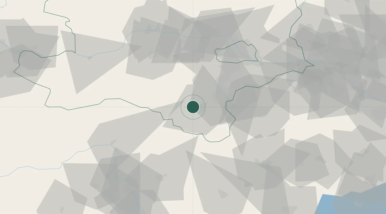
Wimpassing im Schwarzatale
47.7500°, 16.0000°
1,616
Population
1
Transport functions
Transport Functions
Multimodal
Hub Profile
Place type
District seat
Region
Lower Austria
Population
1,616
Time zone
Europe/Vienna
Elevation
394 m
Location
Nearby Logistics Neighbours
Cities
- 1Willendorf5 km
- 2Weikersdorf am Steinfelde11 km
- 3Muthmannsdorf12 km
- 4Hirschwang15 km
- 5Bad Fischau16 km
Ports
- 1Monfalcone287 km
- 2Trieste290 km
- 3Muggia294 km
- 4Rijeka Luka294 km
- 5Bakar295 km
Airports
- 1Wiener Neustadt West Airport19 km
- 2Wiener Neustadt East Airport22 km
- 3Vienna International Airport58 km
- 4Graz Airport94 km
- 5M. R. Štefánik Airport102 km
Trade Zones
- 1Sjever Free Zone164 km
- 2Černovická Terasa Industrial Zone166 km
- 3Veselí nad Moravou Industrial Zone168 km
- 4Krapina-Zagorje Free Zone178 km
- 5Holešov Industrial Zone209 km
DatabookThe Record of Consolidated Knowledge
Austria beyond logistics?