Transport Functions
Rail
Road
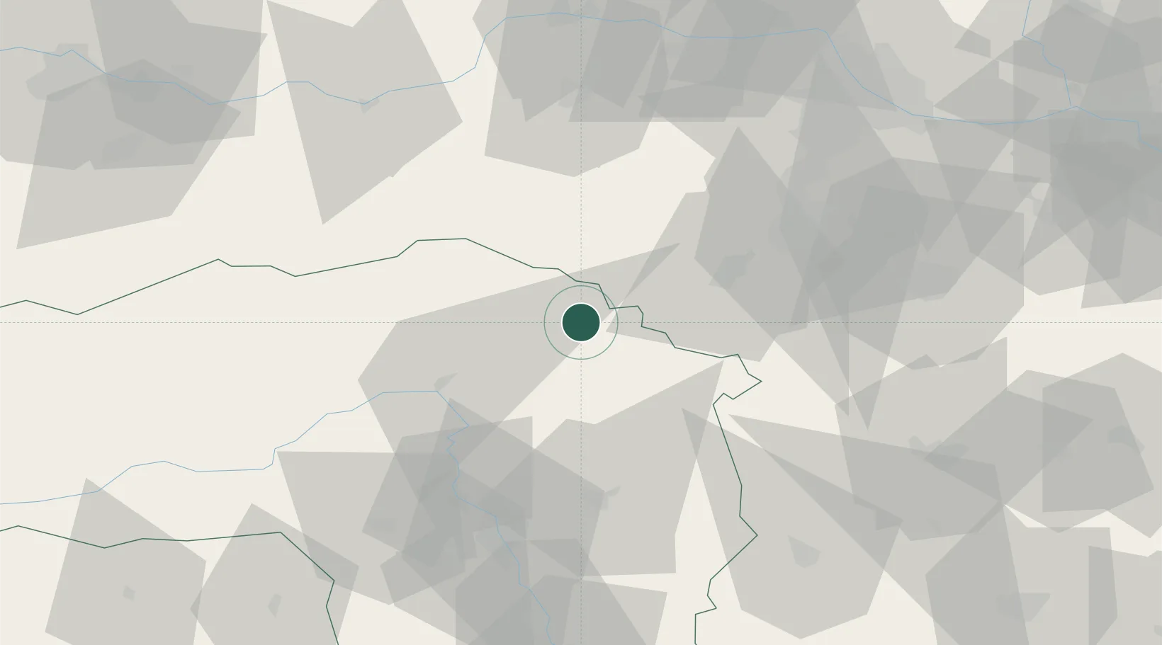
Location
Nearby Logistics Neighbours
Cities
- 1Hönigsberg3 km
- 2Langenwang5 km
- 3Krieglach12 km
- 4Veitsch14 km
- 5Wartberg16 km
Ports
- 1Monfalcone259 km
- 2Trieste262 km
- 3Muggia266 km
- 4Rijeka Luka269 km
- 5Bakar270 km
Airports
- 1Wiener Neustadt West Airport49 km
- 2Wiener Neustadt East Airport52 km
- 3Graz Airport70 km
- 4Hinterstoisser Air Base82 km
- 5Vienna International Airport88 km
Trade Zones
- 1Sjever Free Zone154 km
- 2Krapina-Zagorje Free Zone162 km
- 3Černovická Terasa Industrial Zone190 km
- 4Veselí nad Moravou Industrial Zone197 km
- 5PJ Free Zone Zagreb201 km
DatabookThe Record of Consolidated Knowledge
Austria beyond logistics?