Transport Functions
Rail
Road
Hub Profile
Region
3
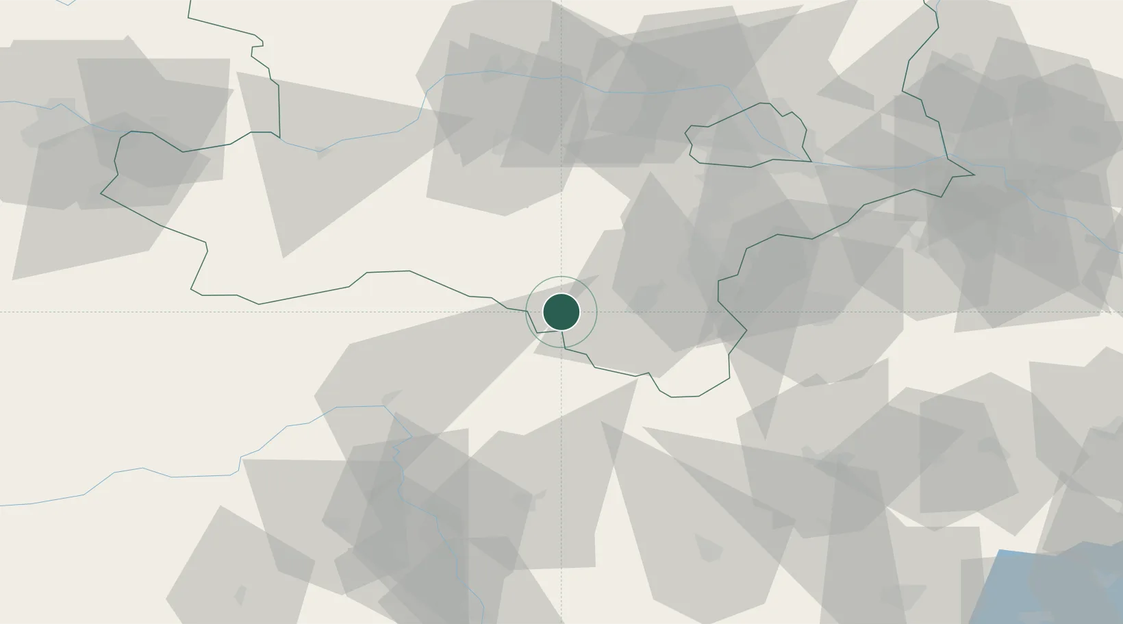
Location
Nearby Logistics Neighbours
Cities
- 1Wimpassing im Schwarzatale15 km
- 2Schwarzau im Gebirge16 km
- 3Mürzzuschlag16 km
- 4Hönigsberg18 km
- 5Gutenstein19 km
Ports
- 1Monfalcone274 km
- 2Trieste277 km
- 3Muggia281 km
- 4Rijeka Luka284 km
- 5Bakar284 km
Airports
- 1Wiener Neustadt West Airport34 km
- 2Wiener Neustadt East Airport37 km
- 3Vienna International Airport72 km
- 4Graz Airport84 km
- 5Hinterstoisser Air Base98 km
Trade Zones
- 1Sjever Free Zone162 km
- 2Krapina-Zagorje Free Zone172 km
- 3Černovická Terasa Industrial Zone176 km
- 4Veselí nad Moravou Industrial Zone181 km
- 5PJ Free Zone Zagreb211 km
DatabookThe Record of Consolidated Knowledge
Austria beyond logistics?