Transport Functions
Port
Road
Hub Profile
Place type
District seat
Region
Lower Austria
Population
355
Time zone
Europe/Vienna
Elevation
481 m
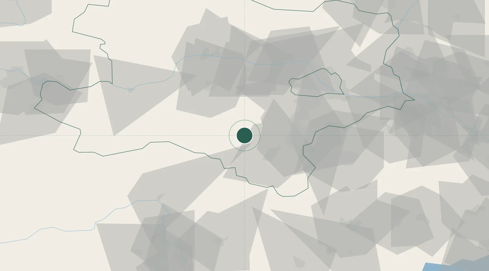
Location
Nearby Logistics Neighbours
Cities
- 1Schwarzau im Gebirge15 km
- 2Willendorf16 km
- 3Wimpassing im Schwarzatale16 km
- 4Muthmannsdorf17 km
- 5Hirschwang19 km
Ports
- 1Monfalcone292 km
- 2Trieste295 km
- 3Muggia299 km
- 4Rijeka Luka303 km
- 5Bakar304 km
Airports
- 1Wiener Neustadt West Airport26 km
- 2Wiener Neustadt East Airport28 km
- 3Vienna International Airport58 km
- 4Graz Airport103 km
- 5M. R. Štefánik Airport105 km
Trade Zones
- 1Černovická Terasa Industrial Zone156 km
- 2Veselí nad Moravou Industrial Zone164 km
- 3Sjever Free Zone179 km
- 4Krapina-Zagorje Free Zone191 km
- 5Holešov Industrial Zone203 km
DatabookThe Record of Consolidated Knowledge
Austria beyond logistics?