Medium airport · Austria
Hinterstoisser Air BaseLOXZ
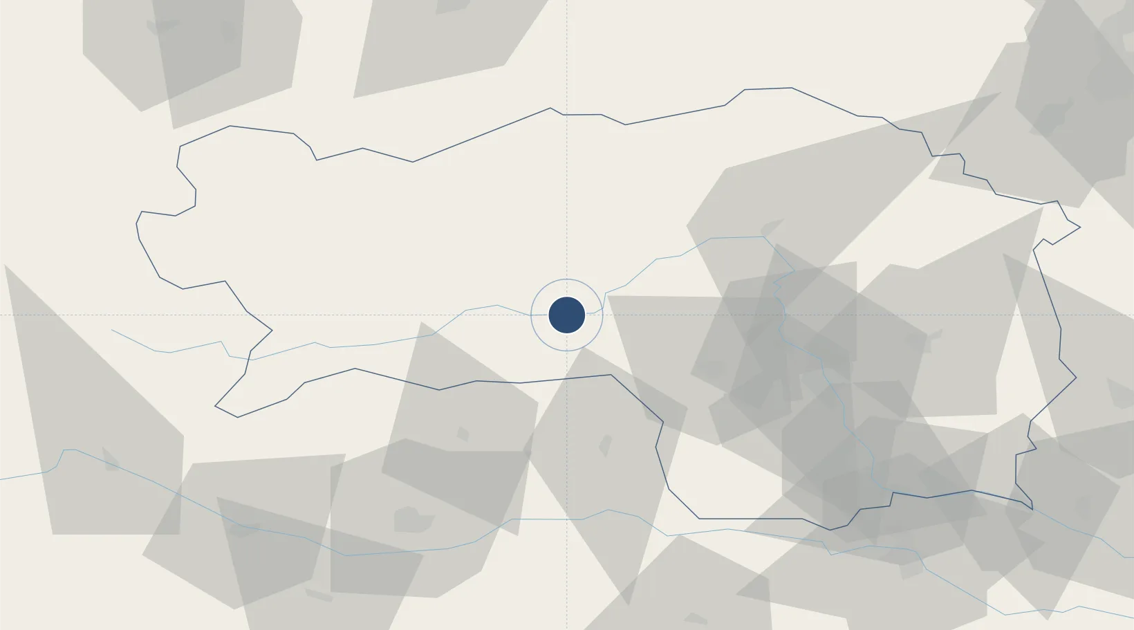
47.2028°, 14.7442°
9,022 ft
Longest runway
2
Runways
2,264 ft
Elevation
Runway & Layout

Radio Frequencies
TWR
118.7 MHz
APP
129.475 MHz
RADAR
Navaids
ZW NDB Zeltweg 418 kHz
Runways · 2
| Runway | Dimensions | Surface | True heading | Lit |
|---|---|---|---|---|
| 08R/26L | 9,022 × 197ft | Asphalt | 081° | ✓ |
| 08L/26R | 4,625 × 131ft | Grass | 081° | — |
Airport Specifications
ICAO code
LOXZ
Airport class
Medium airport
Scheduled service
No
Runway surface
Asphalt
Served city
Zeltweg
Location
Nearby Logistics Neighbours
Airports
- 1Graz Airport58 km
- 2Klagenfurt Airport70 km
- 3Maribor Edvard Rusjan Airport108 km
- 4Ljubljana Jože Pučnik Airport111 km
- 5Linz-Hörsching Airport122 km
Cities
- 1Spielberg bei Knittelfeld3 km
- 2Knittelfeld6 km
- 3Eppenstein8 km
- 4Pöls14 km
- 5Mnichovice25 km
Ports
- 1Monfalcone182 km
- 2Trieste189 km
- 3Muggia193 km
- 4Koper200 km
- 5Grado201 km
Trade Zones
- 1Krapina-Zagorje Free Zone145 km
- 2Sjever Free Zone158 km
- 3PJ Free Zone Zagreb179 km
- 4Free Port of Trieste189 km
- 5Free Zone Kukuljanovo208 km
DatabookThe Record of Consolidated Knowledge
Austria beyond logistics?