Transport Functions
Multimodal
Hub Profile
Place type
District seat
Region
Lower Austria
Population
671
Time zone
Europe/Vienna
Elevation
204 m
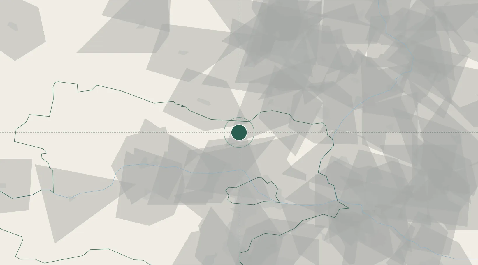
Location
Nearby Logistics Neighbours
Cities
- 1Wultendorf14 km
- 2Haugsdorf17 km
- 3Jetzelsdorf18 km
- 4Novosedly26 km
- 5Hobersbrunn27 km
Ports
- 1Monfalcone380 km
- 2Trieste385 km
- 3Muggia389 km
- 4Rijeka Luka395 km
- 5Koper395 km
Airports
- 1Náměšť Air Base59 km
- 2Brno-Tuřany Airport63 km
- 3Vienna International Airport64 km
- 4Malacky/Kuchyňa Air Base67 km
- 5M. R. Štefánik Airport87 km
Trade Zones
DatabookThe Record of Consolidated Knowledge
Austria beyond logistics?