Transport Functions
Multimodal
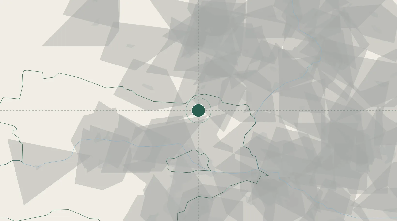
Hub Profile
Place type
Populated place
Region
Lower Austria
Population
349
Time zone
Europe/Vienna
Elevation
272 m
Location
Nearby Logistics Neighbours
Cities
- 1Ketzelsdorf14 km
- 2Stronsdorf14 km
- 3Novosedly19 km
- 4Hobersbrunn20 km
- 5Drnholec21 km
Ports
- 1Monfalcone389 km
- 2Trieste393 km
- 3Muggia397 km
- 4Rijeka Luka401 km
- 5Bakar402 km
Airports
- 1Malacky/Kuchyňa Air Base56 km
- 2Brno-Tuřany Airport56 km
- 3Náměšť Air Base61 km
- 4Vienna International Airport62 km
- 5M. R. Štefánik Airport78 km
Trade Zones
DatabookThe Record of Consolidated Knowledge
Austria beyond logistics?