Transport Functions
Port
Hub Profile
Place type
Populated place
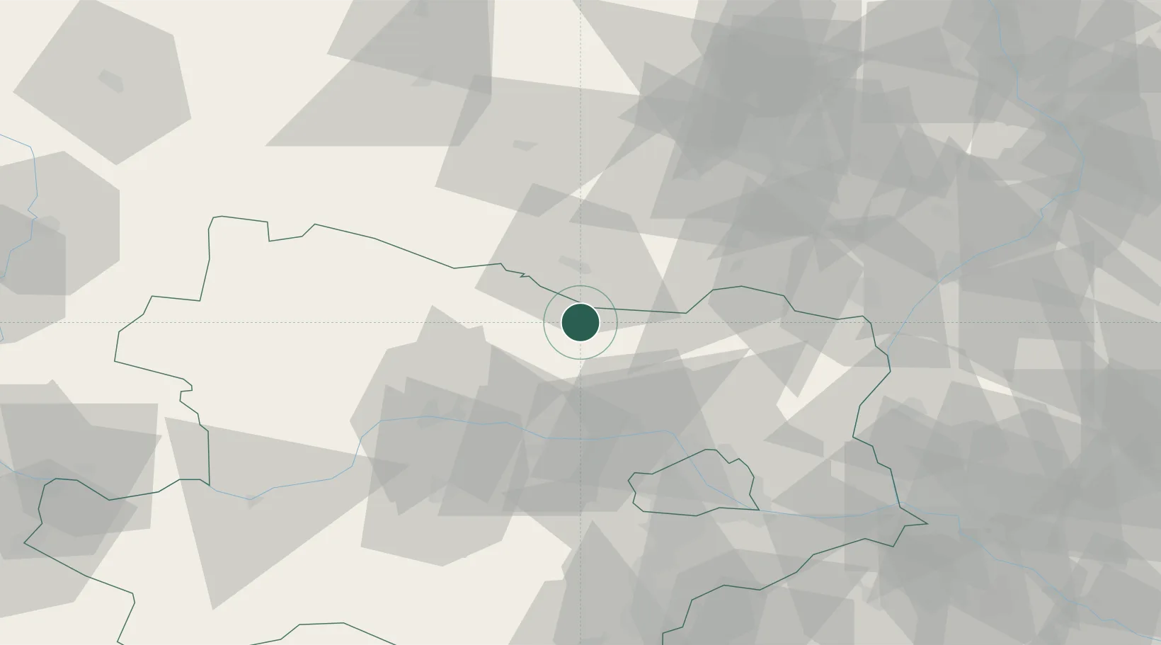
Region
Lower Austria
Population
424
Time zone
Europe/Vienna
Elevation
217 m
Location
Nearby Logistics Neighbours
Cities
- 1Haugsdorf1 km
- 2Retz9 km
- 3Schrattenthal11 km
- 4Stronsdorf18 km
- 5Limberg19 km
Ports
- 1Monfalcone375 km
- 2Trieste381 km
- 3Muggia386 km
- 4Koper392 km
- 5Nogaro393 km
Airports
- 1Náměšť Air Base52 km
- 2Brno-Tuřany Airport69 km
- 3Vienna International Airport76 km
- 4Malacky/Kuchyňa Air Base85 km
- 5Wiener Neustadt East Airport97 km
Trade Zones
DatabookThe Record of Consolidated Knowledge
Austria beyond logistics?