Transport Functions
Port
Hub Profile
Place type
District seat
Region
Lower Austria
Population
801
Time zone
Europe/Vienna
Elevation
203 m
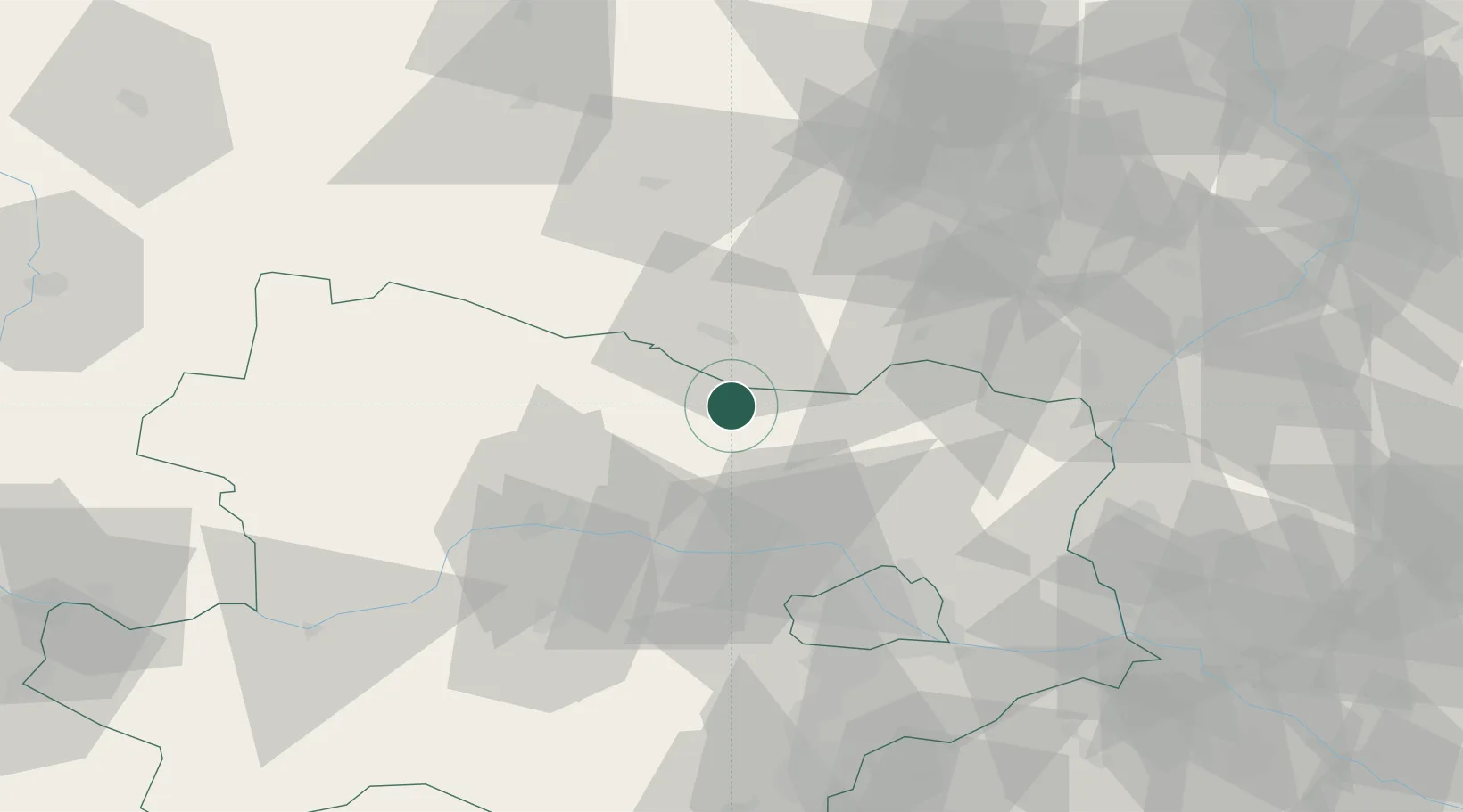
Location
Nearby Logistics Neighbours
Cities
- 1Jetzelsdorf1 km
- 2Retz10 km
- 3Schrattenthal12 km
- 4Stronsdorf17 km
- 5Limberg20 km
Ports
- 1Monfalcone376 km
- 2Trieste382 km
- 3Muggia386 km
- 4Koper392 km
- 5Nogaro394 km
Airports
- 1Náměšť Air Base52 km
- 2Brno-Tuřany Airport68 km
- 3Vienna International Airport75 km
- 4Malacky/Kuchyňa Air Base84 km
- 5Wiener Neustadt East Airport96 km
Trade Zones
DatabookThe Record of Consolidated Knowledge
Austria beyond logistics?