Transport Functions
Rail
Road
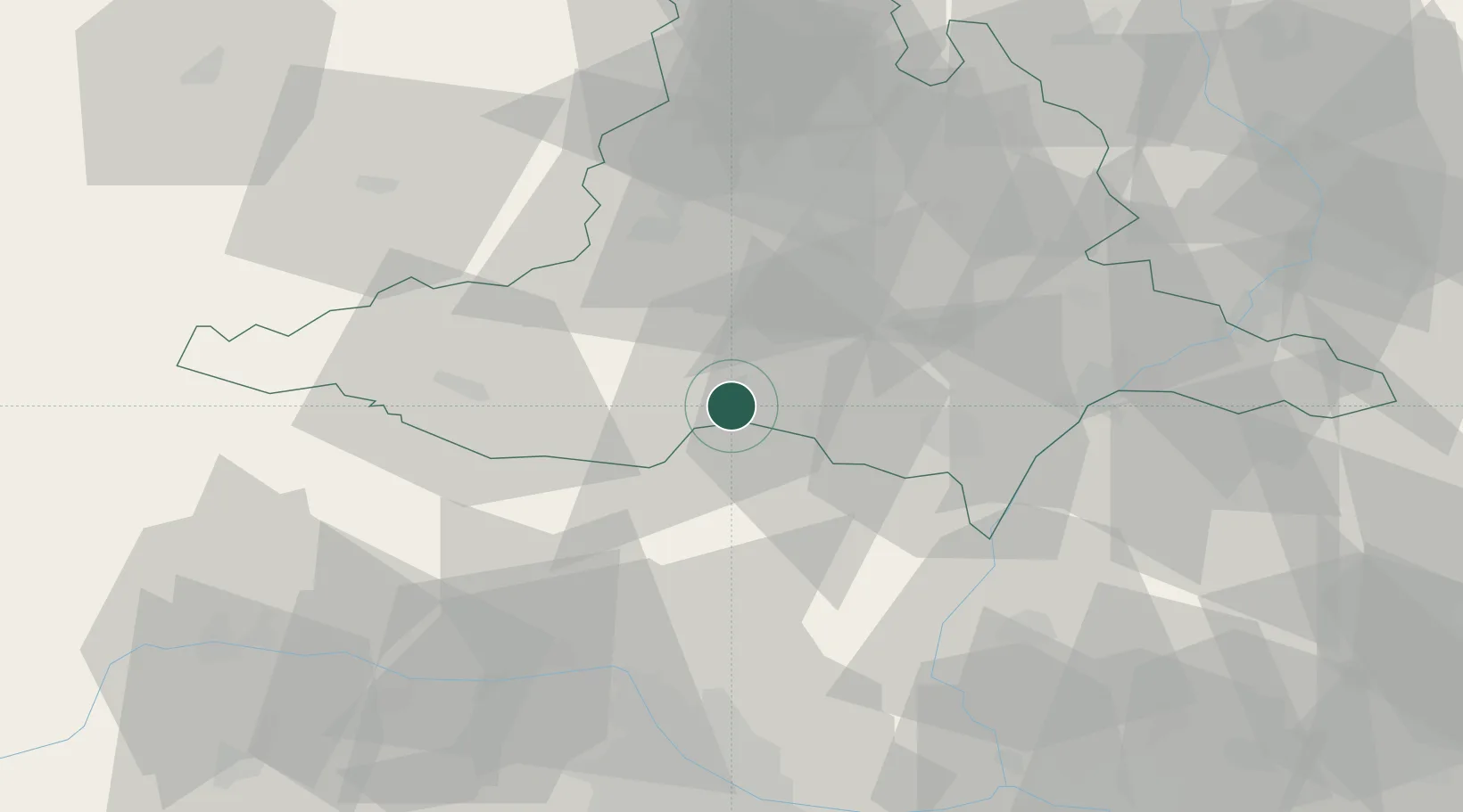
Hub Profile
Place type
Populated place
Region
South Moravian
Population
1,162
Time zone
Europe/Prague
Elevation
176 m
Location
Nearby Logistics Neighbours
Cities
- 1Drnholec2 km
- 2Dolní Vestonice12 km
- 3Pouzdrany14 km
- 4Pohorelice15 km
- 5Sakvice16 km
Ports
- 1Monfalcone406 km
- 2Trieste410 km
- 3Muggia415 km
- 4Rijeka Luka419 km
- 5Bakar420 km
Airports
- 1Brno-Tuřany Airport38 km
- 2Náměšť Air Base46 km
- 3Malacky/Kuchyňa Air Base66 km
- 4Kunovice Airport72 km
- 5Vienna International Airport81 km
Trade Zones
DatabookThe Record of Consolidated Knowledge
Czechia beyond logistics?