UN/LOCODE hub · Austria
ATBNN

Hobersbrunn

48.5000°, 16.5667°
1
Transport functions

Transport Functions

Port
UN/LOCODE

Hub Profile

Region
3
GeoNames

Location

Location of ATBNN
Natural Earth 10m (public domain) · 3 · ATBNN · 48.50, 16.57GoogleOSMYandex

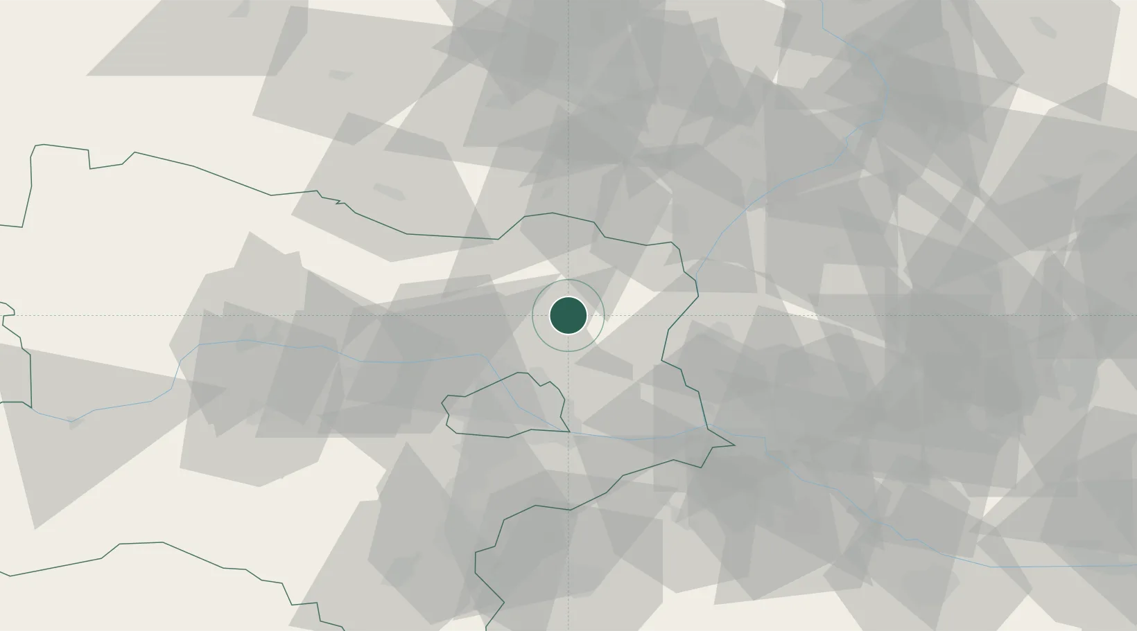
Nearby Logistics Neighbours

Cities
  1. 1Kleinharras7 km
  2. 2Hohenruppersdorf7 km
  3. 3Gross-Schweinbarth12 km
  4. 4Raggendorf13 km
  5. 5Spannberg14 km
Nearest neighbours — logibook spatial index (haversine) over the source coordinates
Ports
  1. 1Monfalcone379 km
  2. 2Trieste382 km
  3. 3Muggia386 km
  4. 4Rijeka Luka388 km
  5. 5Bakar388 km
Nearest neighbours — logibook spatial index (haversine) over the source coordinates
Airports
  1. 1Malacky/Kuchyňa Air Base42 km
  2. 2Vienna International Airport43 km
  3. 3M. R. Štefánik Airport60 km
  4. 4Brno-Tuřany Airport73 km
  5. 5Wiener Neustadt East Airport77 km
Nearest neighbours — logibook spatial index (haversine) over the source coordinates
Trade Zones
  1. 1Černovická Terasa Industrial Zone75 km
  2. 2Veselí nad Moravou Industrial Zone78 km
  3. 3Holešov Industrial Zone116 km
  4. 4Světlá nad Sázavou Municipal Industrial Zone155 km
  5. 5Mošnov Development Area174 km
Nearest neighbours — logibook spatial index (haversine) over the source coordinates
DatabookThe Record of Consolidated Knowledge
Austria beyond logistics?
Browse databook

All Sources

LocationsUN/LOCODE
UN/LOCODE — free
Portsthe NGA World Port Index
Public domain (US gov)
AirportsOurAirports
Public domain
Trade Zonesthe World Bank SEZ database
CC BY 4.0
Trade ZonesOpen Zone Map
CC BY
← Austria locations