UN/LOCODE hub · Austria
ATSGF

Sankt Georgen am Steinfelden

48.1167°, 15.5833°
2
Transport functions

Transport Functions

Rail
Road
UN/LOCODE

Hub Profile

Region
3
GeoNames

Location

Location of ATSGF
Natural Earth 10m (public domain) · 3 · ATSGF · 48.12, 15.58GoogleOSMYandex

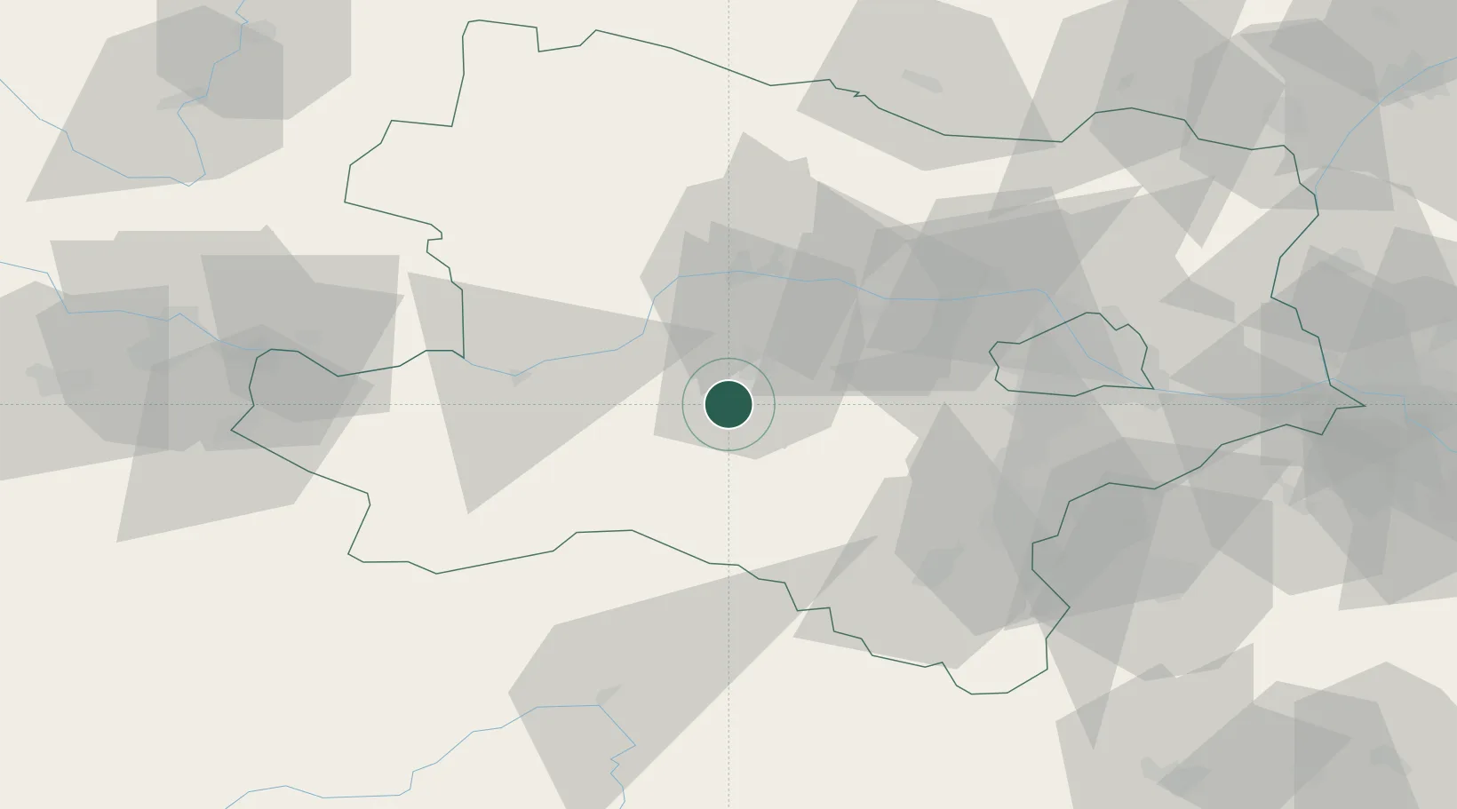
Nearby Logistics Neighbours

Cities
  1. 1Wilhelmsburg2 km
  2. 2Weinburg5 km
  3. 3Prinzersdorf11 km
  4. 4Lilienfeld12 km
  5. 5Loosdorf17 km
Nearest neighbours — logibook spatial index (haversine) over the source coordinates
Ports
  1. 1Monfalcone302 km
  2. 2Trieste308 km
  3. 3Muggia312 km
  4. 4Koper318 km
  5. 5Nogaro320 km
Nearest neighbours — logibook spatial index (haversine) over the source coordinates
Airports
  1. 1Wiener Neustadt West Airport57 km
  2. 2Wiener Neustadt East Airport59 km
  3. 3Vienna International Airport73 km
  4. 4Linz-Hörsching Airport104 km
  5. 5Malacky/Kuchyňa Air Base118 km
Nearest neighbours — logibook spatial index (haversine) over the source coordinates
Trade Zones
  1. 1Černovická Terasa Industrial Zone142 km
  2. 2Veselí nad Moravou Industrial Zone162 km
  3. 3Světlá nad Sázavou Municipal Industrial Zone173 km
  4. 4Holešov Industrial Zone197 km
  5. 5Industrial Zone Kutna Hora204 km
Nearest neighbours — logibook spatial index (haversine) over the source coordinates
DatabookThe Record of Consolidated Knowledge
Austria beyond logistics?
Browse databook

All Sources

LocationsUN/LOCODE
UN/LOCODE — free
Portsthe NGA World Port Index
Public domain (US gov)
AirportsOurAirports
Public domain
Trade Zonesthe World Bank SEZ database
CC BY 4.0
Trade ZonesOpen Zone Map
CC BY
← Austria locations