Transport Functions
Port
Multimodal
Hub Profile
Place type
District seat
Region
Lower Austria
Population
1,015
Time zone
Europe/Vienna
Elevation
268 m
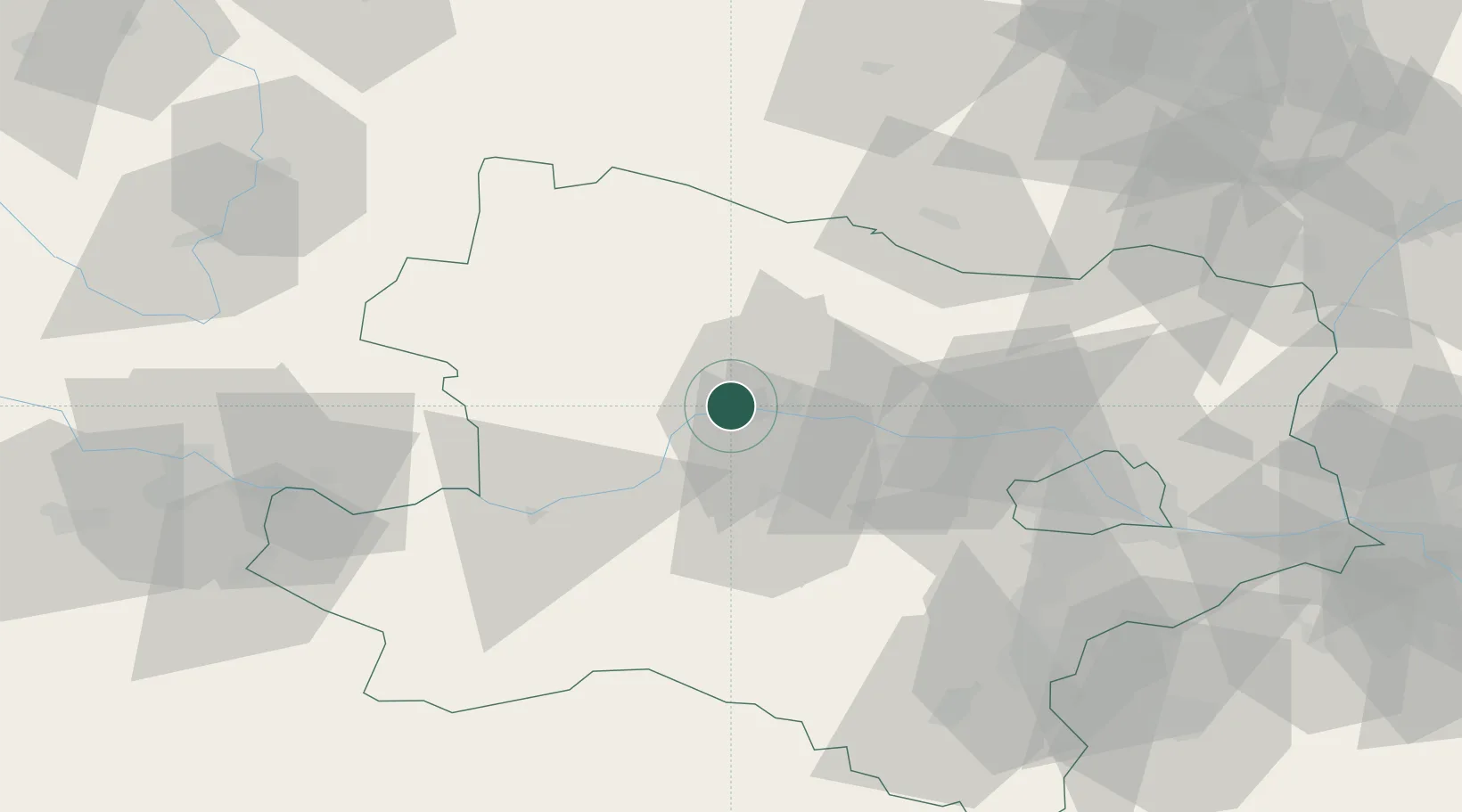
Location
Nearby Logistics Neighbours
Cities
- 1Dross2 km
- 2Ruhrsdorf5 km
- 3Unterloiben6 km
- 4Dürnstein6 km
- 5Krems an der Donau8 km
Ports
- 1Monfalcone331 km
- 2Trieste338 km
- 3Muggia343 km
- 4Nogaro348 km
- 5Grado349 km
Airports
Trade Zones
DatabookThe Record of Consolidated Knowledge
Austria beyond logistics?