Transport Functions
Multimodal
Hub Profile
Place type
Populated place
Region
Santa Fe
Time zone
America/Argentina/Cordoba
Elevation
69 m
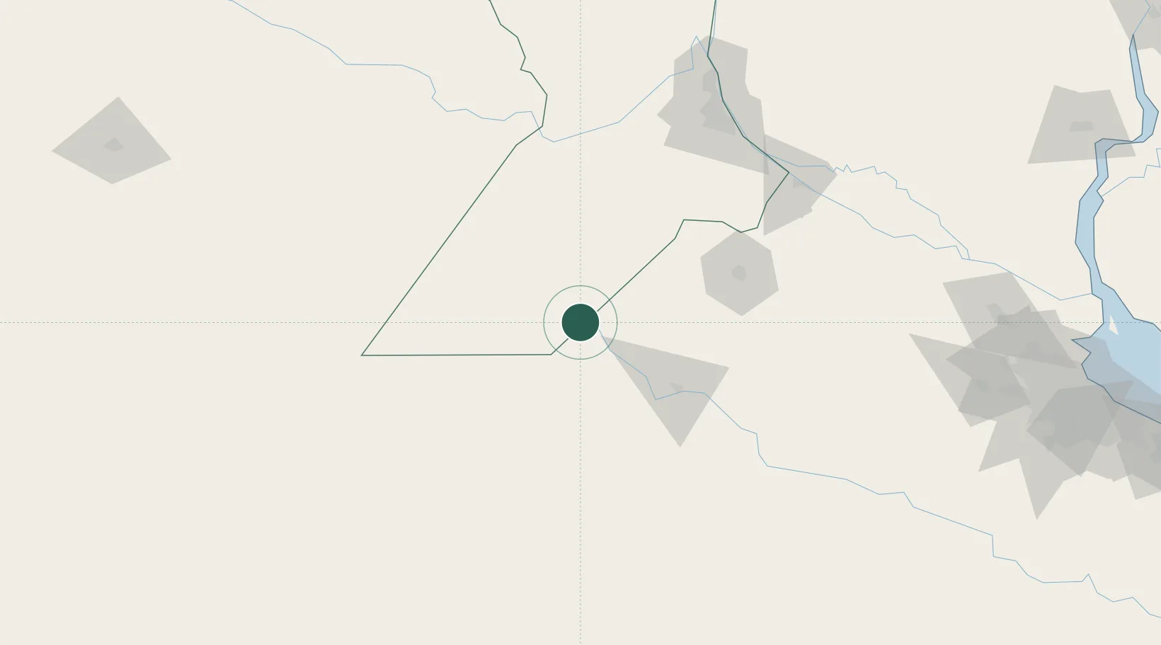
Location
Nearby Logistics Neighbours
Cities
- 1Santa Isabel35 km
- 2Hughes46 km
- 3Colón51 km
- 4Pergamino95 km
- 5Arias102 km
Ports
- 1San Nicolas153 km
- 2Villa Constitucion153 km
- 3Ramallo160 km
- 4Rosario161 km
- 5San Pedro172 km
Airports
Trade Zones
- 1General Pico Free Zone264 km
- 2Zona Sur Buenos Aires283 km
- 3Nueva Palmira Free Zone289 km
- 4Montes de Plata Free Zone320 km
- 5Zona Franca UPM326 km
DatabookThe Record of Consolidated Knowledge
Argentina beyond logistics?