Large airport · Argentina
Rosario Islas Malvinas International AirportSAAR
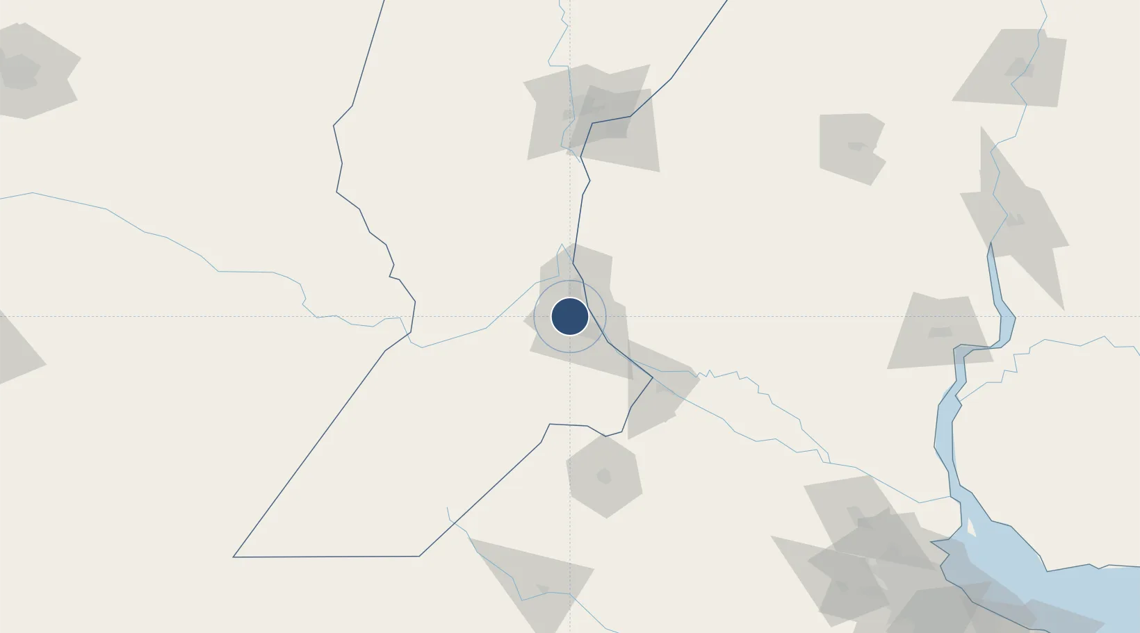
-32.9036°, -60.7850°
9,842 ft
Longest runway
1
Runways
85 ft
Elevation
Runway & Layout

Radio Frequencies
TWR
118.7 MHz
TWR/APP
Navaids
ROS VOR-DME Rosario 117.30 MHz
Runways · 1
| Runway | Dimensions | Surface | True heading | Lit |
|---|---|---|---|---|
| 02/20 | 9,842 × 148ft | Concrete | 010° | ✓ |
Airport Specifications
IATA code
ROS
ICAO code
SAAR
Airport class
Large airport
Scheduled service
Yes
Runway surface
Concrete
Served city
Rosario
Location
Nearby Logistics Neighbours
Airports
- 1(Duplicate)Aeropuerto Pergamino112 km
- 2General Urquiza Airport127 km
- 3Sauce Viejo Airport133 km
- 4Gualeguaychu Airport203 km
- 5Presidente Néstor Kirchner Regional Airport238 km
Cities
- 1Funes3 km
- 2Capitan Bermudez12 km
- 3Fray Luis A. Beltrán14 km
- 4Rosario14 km
- 5Soldini15 km
Ports
- 1Rosario15 km
- 2San Lorenzo18 km
- 3Puerto San Martin21 km
- 4Villa Constitucion56 km
- 5San Nicolas70 km
Trade Zones
- 1Zona Franca UPM237 km
- 2UPM Fray Bentos Free Zone237 km
- 3Nueva Palmira Free Zone246 km
- 4Zona Sur Buenos Aires286 km
- 5Montes de Plata Free Zone293 km
DatabookThe Record of Consolidated Knowledge
Argentina beyond logistics?