Transport Functions
Multimodal
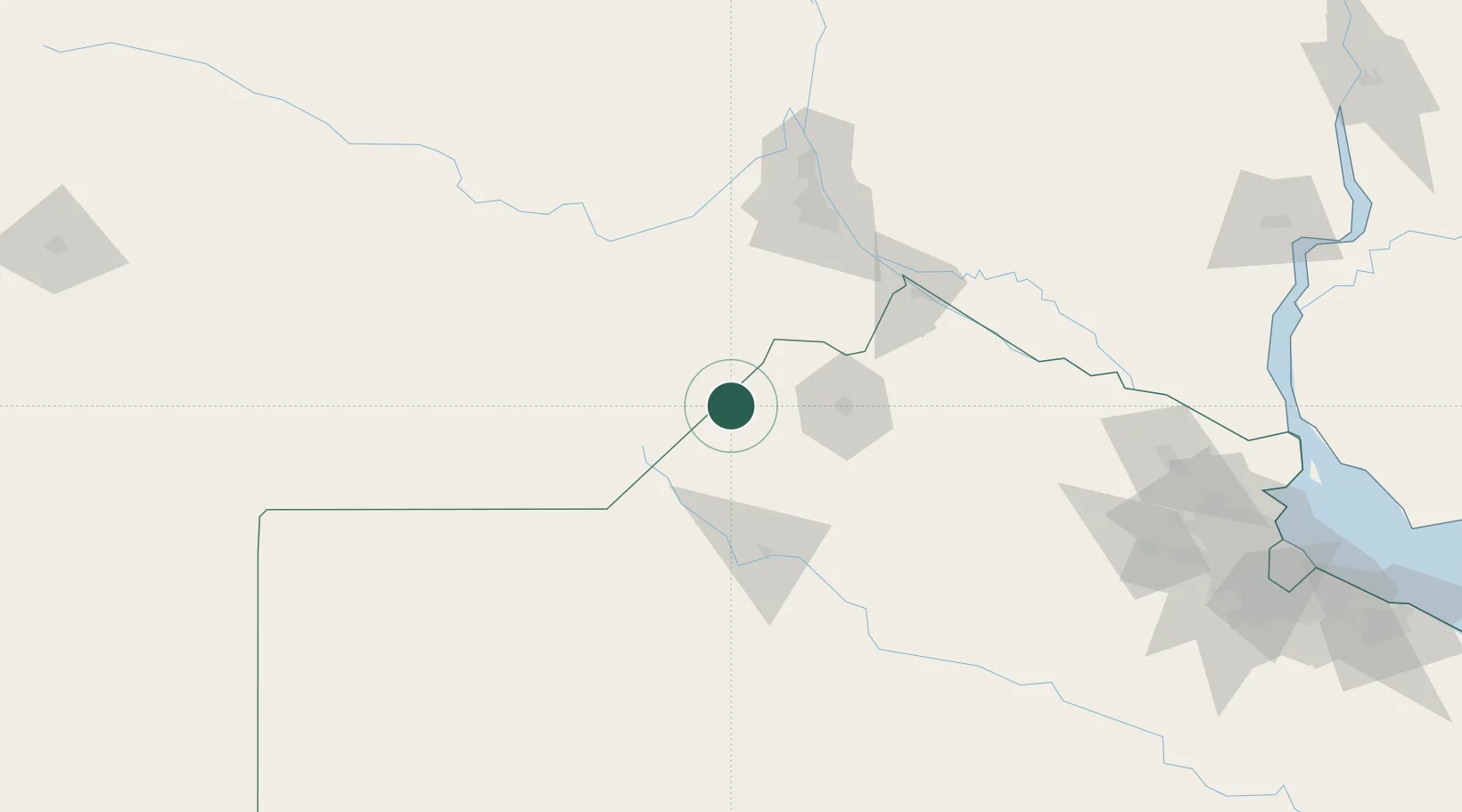
Hub Profile
Place type
Provincial seat
Region
Buenos Aires
Time zone
America/Argentina/Buenos_Aires
Elevation
81 m
Location
Nearby Logistics Neighbours
Cities
- 1Hughes22 km
- 2Pergamino51 km
- 3Teodelina51 km
- 4Alvear52 km
- 5Santa Isabel54 km
Ports
- 1San Nicolas102 km
- 2Villa Constitucion102 km
- 3Ramallo111 km
- 4Rosario113 km
- 5San Pedro125 km
Airports
Trade Zones
- 1Nueva Palmira Free Zone249 km
- 2Zona Sur Buenos Aires255 km
- 3Zona Franca UPM279 km
- 4UPM Fray Bentos Free Zone279 km
- 5Montes de Plata Free Zone285 km
DatabookThe Record of Consolidated Knowledge
Argentina beyond logistics?