Transport Functions
Rail
Road
Hub Profile
Place type
Populated place
Region
Santa Fe
Time zone
America/Argentina/Cordoba
Elevation
102 m
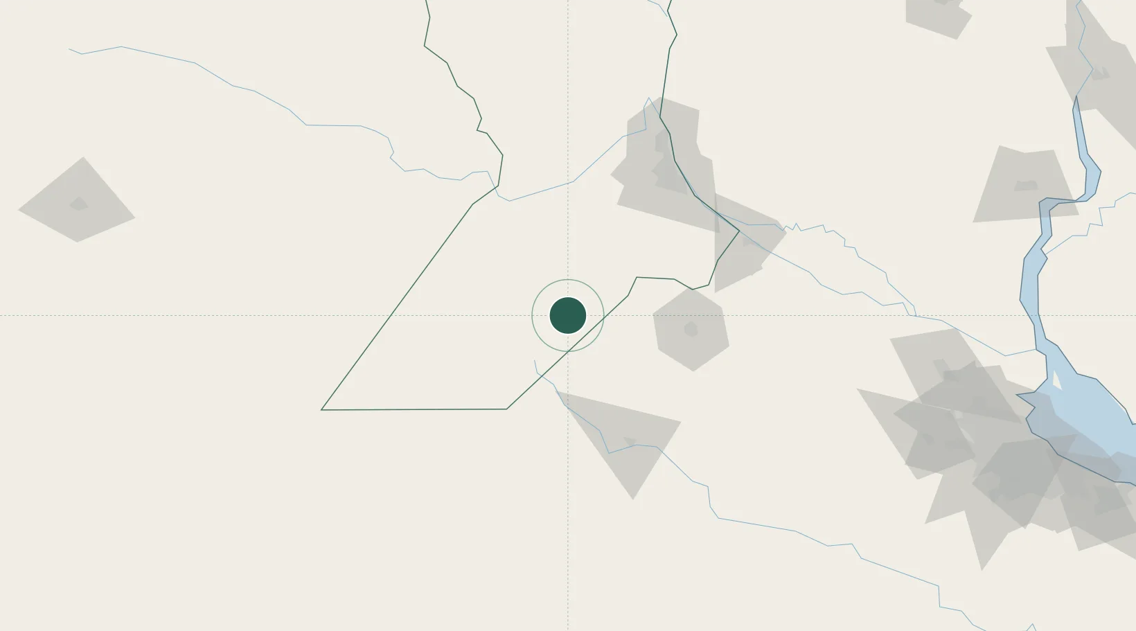
Location
Nearby Logistics Neighbours
Cities
- 1Colón22 km
- 2Santa Isabel36 km
- 3Teodelina46 km
- 4Alvear68 km
- 5Pergamino71 km
Ports
- 1Villa Constitucion112 km
- 2San Nicolas114 km
- 3Rosario115 km
- 4Ramallo127 km
- 5San Lorenzo129 km
Airports
Trade Zones
- 1Nueva Palmira Free Zone270 km
- 2Zona Sur Buenos Aires277 km
- 3Zona Franca UPM295 km
- 4UPM Fray Bentos Free Zone295 km
- 5Montes de Plata Free Zone306 km
DatabookThe Record of Consolidated Knowledge
Argentina beyond logistics?