Free Zone · Uruguay

Nueva Palmira Free Zone Active
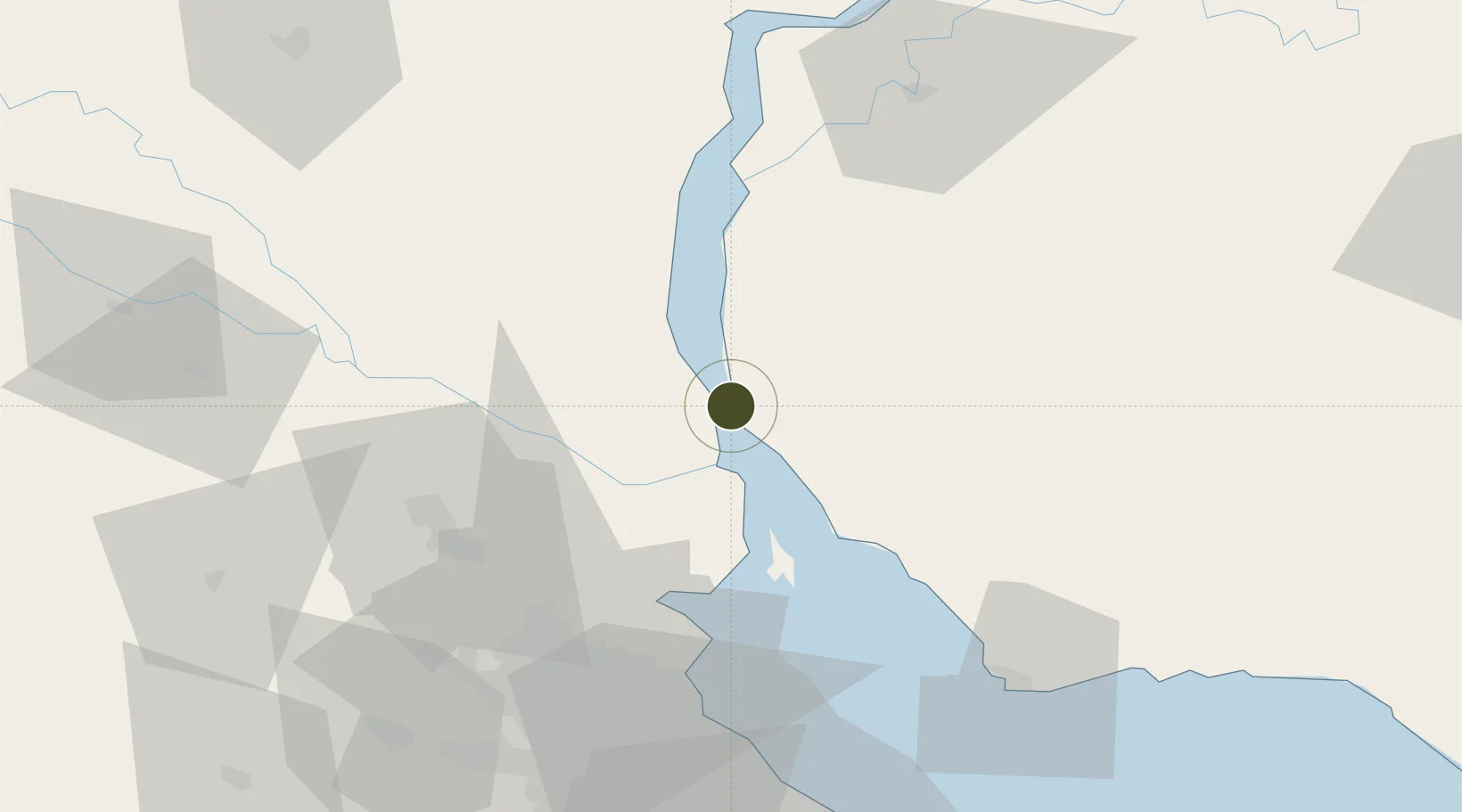
-33.8874°, -58.4169°
100 ha
Zone area
0.5 km
Nearest port
64.9 km
Nearest airport

Gateway access

Nearest neighbours — logibook spatial index (haversine) over the source coordinates

Zone profile

Zone type
Free Zone
the World Bank SEZ database
Region
Soriano
the World Bank SEZ database
Status
Active
the World Bank SEZ database
Established
1923
the World Bank SEZ database
Management
Public agency
the World Bank SEZ database
Operator
Government of Uruguay
the World Bank SEZ database
Regulatory authority
National Free Zones Bureau
the World Bank SEZ database
Legal framework
Law 15,921 on Free Zones
the World Bank SEZ database

Location

Location of URY12
Natural Earth 10m (public domain) · Soriano · URY12 · -33.89, -58.42GoogleOSMYandex

Fiscal & incentives

Corporate tax
25%
the World Bank SEZ database
Tax relief
100% exempt
the World Bank SEZ database
Relief duration
Perpetual
the World Bank SEZ database
VAT
100% exempt from VAT
the World Bank SEZ database
Import duty (inputs)
100% exempt
the World Bank SEZ database
Import duty (capex)
100% exempt
the World Bank SEZ database
Profit repatriation
No exemption
the World Bank SEZ database
Capital gains
No exemption
the World Bank SEZ database
Withholding tax
100% exempt from dividend tax
the World Bank SEZ database
Min. investment
None
the World Bank SEZ database
Min. export
0%
the World Bank SEZ database
Employment incentive
No exemption
the World Bank SEZ database
Developer incentive
No established framework
the World Bank SEZ database

Nearby Logistics Neighbours

Ports
  1. 1Nueva Palmira1 km
  2. 2Campana59 km
  3. 3Zarate61 km
  4. 4Puerto Ibicuy72 km
  5. 5Buenos Aires79 km
Nearest neighbours — logibook spatial index (haversine) over the source coordinates
Airports
  1. 1San Fernando Airport65 km
  2. 2Aeroparque Jorge Newbery75 km
  3. 3El Palomar Airport82 km
  4. 4Gualeguaychu Airport100 km
  5. 5Ezeiza International Airport - Ministro Pistarini105 km
Nearest neighbours — logibook spatial index (haversine) over the source coordinates
Cities
  1. 1Del Guazu42 km
  2. 2Tigre61 km
  3. 3Belén de Escobar62 km
  4. 4Zárate62 km
  5. 5Campana62 km
Nearest neighbours — logibook spatial index (haversine) over the source coordinates
Trade Zones
  1. 1Montes de Plata Free Zone50 km
  2. 2Zona Sur Buenos Aires84 km
  3. 3Colonia Free Zone84 km
  4. 4Zona Franca UPM86 km
  5. 5UPM Fray Bentos Free Zone86 km
Nearest neighbours — logibook spatial index (haversine) over the source coordinates
DatabookThe Record of Consolidated Knowledge
Uruguay beyond logistics?
Browse databook

All Sources

Trade Zonesthe World Bank SEZ database
CC BY 4.0
Portsthe NGA World Port Index
Public domain (US gov)
AirportsOurAirports
Public domain
LocationsUN/LOCODE
UN/LOCODE — free
← Uruguay trade zones