Medium airport · Argentina
Comodoro Pedro Zanni AirportSAZP
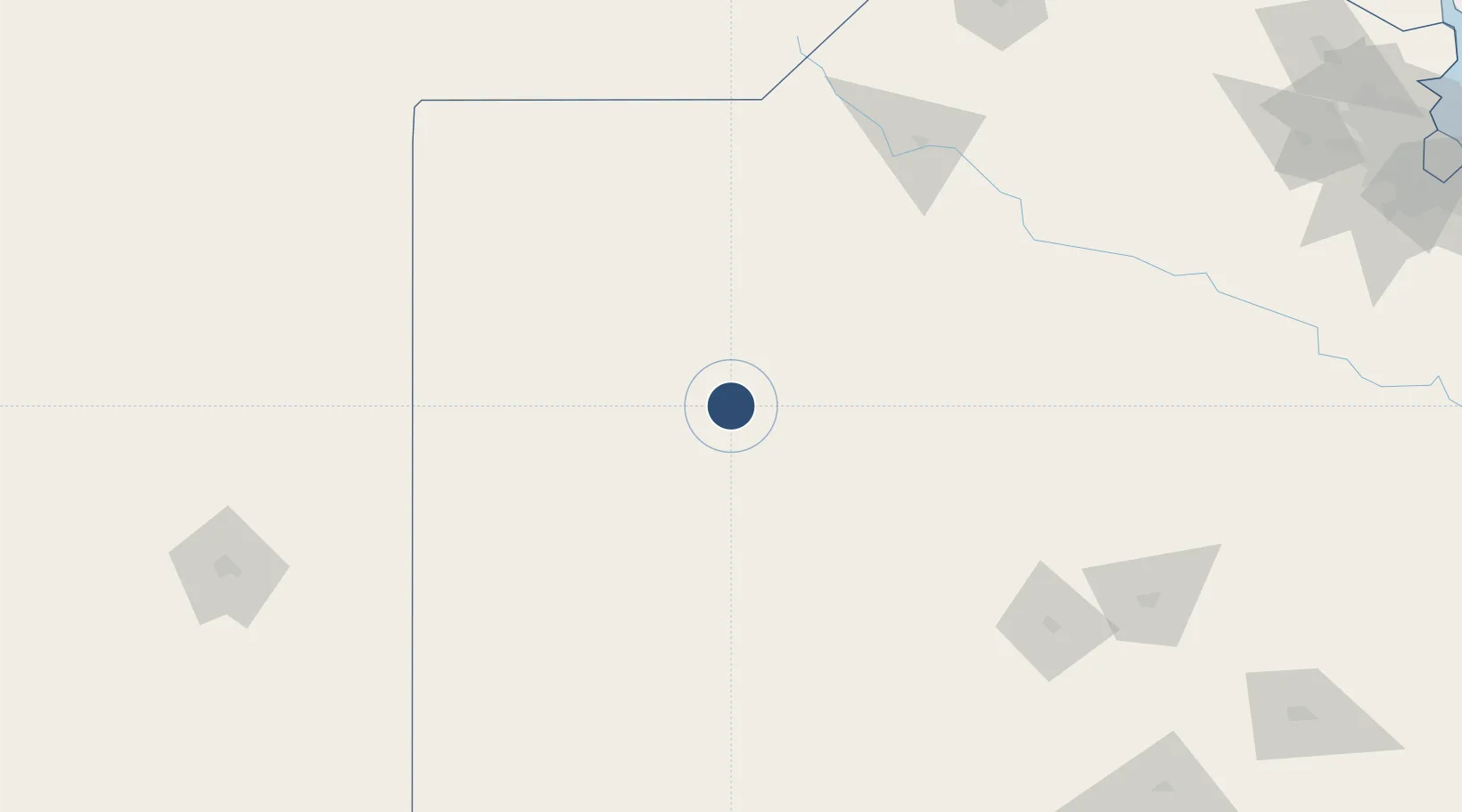
-35.8446°, -61.8576°
4,921 ft
Longest runway
1
Runways
278 ft
Elevation
Runway & Layout

Radio Frequencies
TWR
118.35 MHz
PEHUAJO TWR
Navaids
PEH NDB Pehuajo 265 kHz
Runways · 1
| Runway | Dimensions | Surface | True heading | Lit |
|---|---|---|---|---|
| 18/36 | 4,921 × 98ft | Asphalt | 180° | ✓ |
Airport Specifications
IATA code
PEH
ICAO code
SAZP
Airport class
Medium airport
Scheduled service
No
Runway surface
Asphalt
Served city
Pehuajó
Location
Nearby Logistics Neighbours
Airports
- 1General Pico Airport172 km
- 2Santa Rosa Airport232 km
- 3(Duplicate)Aeropuerto Pergamino246 km
- 4Héroes de Malvinas Airport281 km
- 5Tres Arroyos Airport314 km
Cities
- 1Herrera Vegas48 km
- 2Daireaux85 km
- 3Villa Lynch95 km
- 4Nueve de Julio98 km
- 5Bragado147 km
Ports
- 1Ramallo312 km
- 2San Pedro313 km
- 3San Nicolas316 km
- 4Villa Constitucion322 km
- 5Zarate323 km
Trade Zones
- 1General Pico Free Zone175 km
- 2Zona Franca Bahía Blanca321 km
- 3Zona Sur Buenos Aires333 km
- 4La Plata Free Trade Zone375 km
- 5Justo Daract Free Trade Zone377 km
DatabookThe Record of Consolidated Knowledge
Argentina beyond logistics?