Medium airport · Argentina
General Pico AirportSAZG
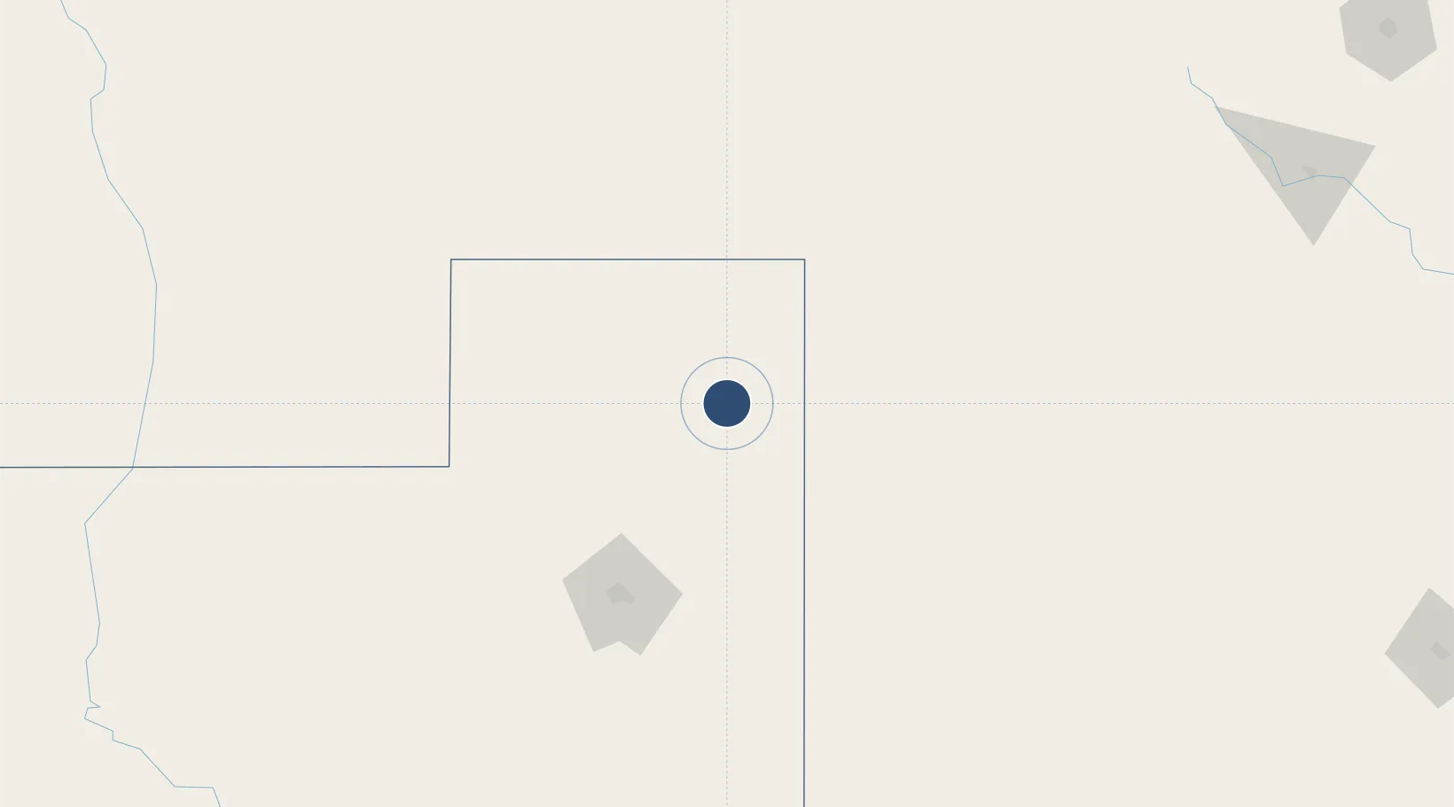
-35.6962°, -63.7583°
7,710 ft
Longest runway
2
Runways
459 ft
Elevation
Runway & Layout

Radio Frequencies
APP
119 MHz
PICO TWR
Navaids
GPI VOR General Pico 112.20 MHz
GPI NDB General Pico 286 kHz
Runways · 2
| Runway | Dimensions | Surface | True heading | Lit |
|---|---|---|---|---|
| 16/34 | 7,710 × 148ft | Asphalt | 160° | ✓ |
| 03/21 | 2,789 × 164ft | Graded earth | 032° | — |
Airport Specifications
IATA code
GPO
ICAO code
SAZG
Airport class
Medium airport
Scheduled service
No
Runway surface
Asphalt
Served city
General Pico
Location
Nearby Logistics Neighbours
Airports
- 1Santa Rosa Airport110 km
- 2Comodoro Pedro Zanni Airport172 km
- 3Villa Reynolds Airport265 km
- 4Area De Material Airport294 km
- 5(Duplicate)Aeropuerto Pergamino353 km
Cities
- 1Piedritas127 km
- 2Rufino186 km
- 3Daireaux206 km
- 4Herrera Vegas215 km
- 5Villa Lynch237 km
Ports
- 1Puerto Galvan367 km
- 2Bahia Blanca368 km
- 3Puerto Nacional369 km
- 4Puerto Ingeniero White370 km
- 5Puerto Belgrano384 km
Trade Zones
- 1General Pico Free Zone3 km
- 2Justo Daract Free Trade Zone244 km
- 3Zona Franca de San Luis245 km
- 4Zona Franca Bahía Blanca361 km
- 5Zona Sur Buenos Aires492 km
DatabookThe Record of Consolidated Knowledge
Argentina beyond logistics?