Free Trade Zone · Argentina
General Pico Free Zone Active
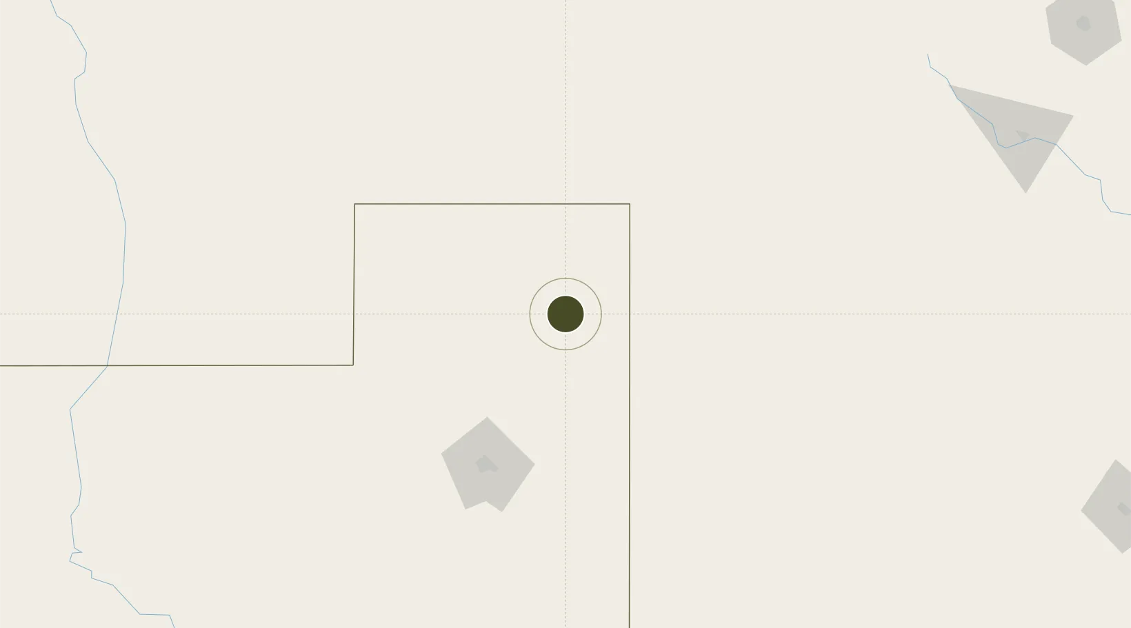
-35.6839°, -63.7815°
70 ha
Zone area
368.7 km
Nearest port
2.5 km
Nearest airport
Gateway access
Zone profile
Zone type
Free Trade Zone
Region
La Pampa
Status
Active
Management
Public-Private Partnership
Operator
Zona Franca General Pico
Legal framework
Law No 24.331 of Free Zones, External Note N1/2008
Location
Nearby Logistics Neighbours
Ports
- 1Puerto Galvan369 km
- 2Bahia Blanca370 km
- 3Puerto Nacional371 km
- 4Puerto Ingeniero White372 km
- 5Puerto Belgrano386 km
Airports
- 1General Pico Airport3 km
- 2Santa Rosa Airport110 km
- 3Comodoro Pedro Zanni Airport175 km
- 4Villa Reynolds Airport262 km
- 5Area De Material Airport292 km
Cities
- 1Piedritas128 km
- 2Rufino186 km
- 3Daireaux209 km
- 4Herrera Vegas218 km
- 5Villa Lynch240 km
Trade Zones
- 1Justo Daract Free Trade Zone242 km
- 2Zona Franca de San Luis242 km
- 3Zona Franca Bahía Blanca363 km
- 4Córdoba Free Trade Zone490 km
- 5Zona Sur Buenos Aires494 km
DatabookThe Record of Consolidated Knowledge
Argentina beyond logistics?