Transport Functions
Multimodal
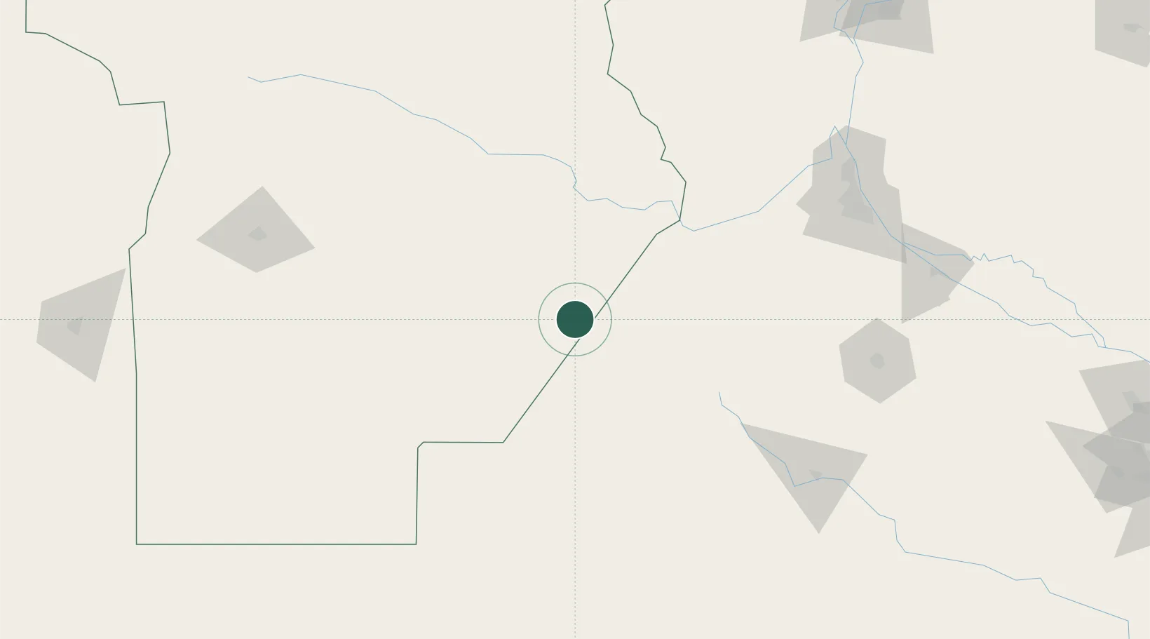
Hub Profile
Place type
Populated place
Region
Cordoba
Population
6,928
Time zone
America/Argentina/Cordoba
Elevation
119 m
Location
Nearby Logistics Neighbours
Cities
- 1Canals44 km
- 2Monte Maíz51 km
- 3Santa Isabel73 km
- 4Rufino75 km
- 5Hughes102 km
Ports
- 1Rosario182 km
- 2San Lorenzo185 km
- 3Puerto San Martin187 km
- 4Villa Constitucion198 km
- 5San Nicolas205 km
Airports
Trade Zones
- 1Justo Daract Free Trade Zone257 km
- 2Zona Franca de San Luis257 km
- 3General Pico Free Zone260 km
- 4Córdoba Free Trade Zone309 km
- 5Nueva Palmira Free Zone371 km
DatabookThe Record of Consolidated Knowledge
Argentina beyond logistics?