Channel & Berth Profile
Pilotage, Tugs & Services
Pilotage availableNO
Tug assistanceNO
Salvage tugsNO
Potable waterYES
Diesel bunkersNO
MedicalYES
Garbage disposalYES
Facilities & Capabilities
Container—
Ro-Ro—
Liquid bulk—
Dry bulk—
Oil terminal—
Break bulk—
Dry dock—
Repairs—
BunkeringNO
Rail link—
Dangerous cargo—
ISPS security—
Harbour Specifications
Harbour size
Very Small
Harbour type
River (Natural)
Shelter
Excellent
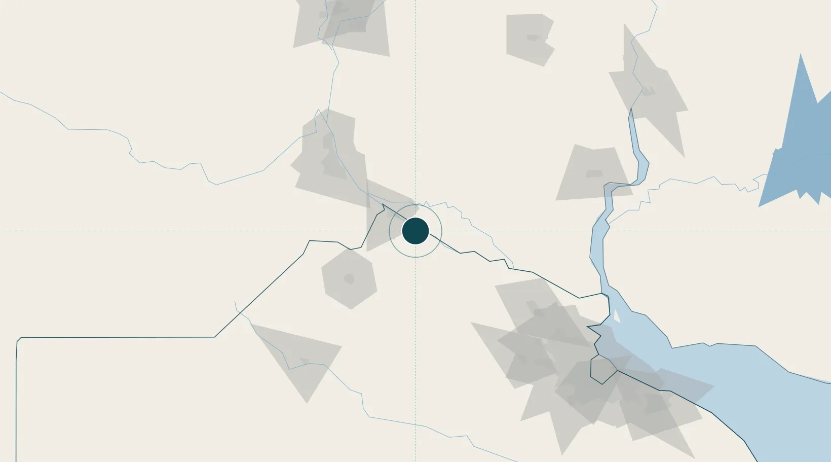
Water body
Rio de la Plata; South Atlantic Ocean
Location
Nearby Logistics Neighbours
Ports
- 1San Pedro22 km
- 2San Nicolas26 km
- 3Villa Constitucion41 km
- 4Rosario83 km
- 5Puerto Ibicuy83 km
Cities
- 1Ingeniero Buitrago18 km
- 2San Nicolás de los Arroyos26 km
- 3Villa Constitución41 km
- 4Arroyo Seco55 km
- 5Alvear59 km
Airports
Trade Zones
- 1Nueva Palmira Free Zone155 km
- 2Zona Franca UPM169 km
- 3UPM Fray Bentos Free Zone169 km
- 4Zona Sur Buenos Aires190 km
- 5Montes de Plata Free Zone199 km
DatabookThe Record of Consolidated Knowledge
Argentina beyond logistics?