Transport Functions
Multimodal
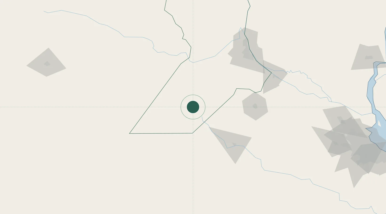
Hub Profile
Place type
Populated place
Region
Santa Fe
Time zone
America/Argentina/Cordoba
Elevation
107 m
Location
Nearby Logistics Neighbours
Ports
- 1Rosario145 km
- 2Villa Constitucion147 km
- 3San Nicolas150 km
- 4San Lorenzo156 km
- 5Puerto San Martin159 km
Airports
Trade Zones
- 1General Pico Free Zone275 km
- 2Nueva Palmira Free Zone303 km
- 3Zona Sur Buenos Aires305 km
- 4Justo Daract Free Trade Zone322 km
- 5Zona Franca de San Luis322 km
DatabookThe Record of Consolidated Knowledge
Argentina beyond logistics?