Specialized Zone · Uruguay
Zona Franca UPM Active
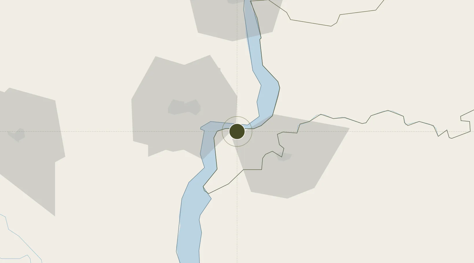
-33.1234°, -58.2548°
828 ha
Zone area
5.8 km
Nearest port
35.8 km
Nearest airport
Gateway access
Zone profile
Zone type
Specialized Zone
Specialization
Agriculture
Region
Río Negro
Status
Active
Management
Private
Operator
UPM Fray Bentos, SA
Legal framework
Law 15,921 on Free Zones
Location
Nearby Logistics Neighbours
Ports
- 1Fray Bentos6 km
- 2Concepcion Del Uruguay71 km
- 3Nueva Palmira86 km
- 4Paysandu91 km
- 5Colon102 km
Airports
- 1Gualeguaychu Airport36 km
- 2Tydeo Larre Borges Airport86 km
- 3San Fernando Airport151 km
- 4Aeroparque Jorge Newbery160 km
- 5Santa Bernardina International Airport165 km
Cities
- 1Nuevo Berlin25 km
- 2Gualeguaychú27 km
- 3Concepción del Uruguay71 km
- 4Urdurrain76 km
- 5Colón102 km
Trade Zones
- 1UPM Fray Bentos Free Zone0 km
- 2Nueva Palmira Free Zone86 km
- 3Montes de Plata Free Zone124 km
- 4Colonia Free Zone155 km
- 5Nueva Helvecia Free Zone163 km
DatabookThe Record of Consolidated Knowledge
Uruguay beyond logistics?