Medium airport · Argentina

Presidente Néstor Kirchner Regional AirportSAOV
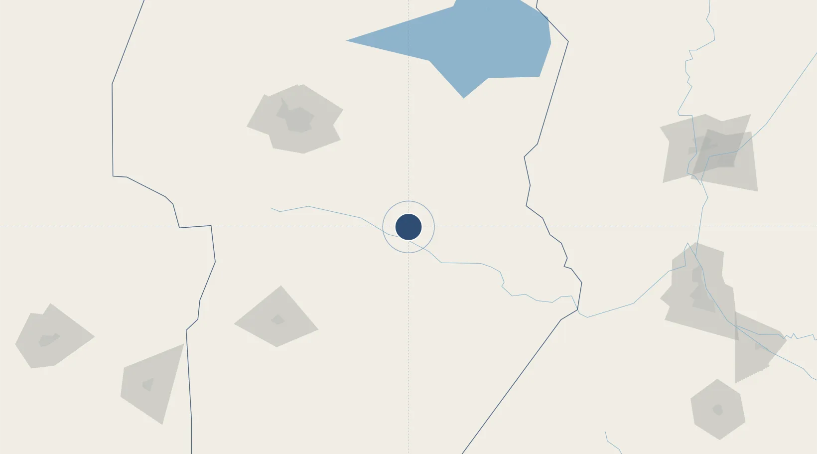
-32.3201°, -63.2266°
670 ft
Elevation

Runway & Layout

Presidente Néstor Kirchner Regional Airport runway & taxiway layout
Runway & taxiway layout — OpenStreetMap (ODbL) / OurAirports

Airport Specifications

ICAO code
SAOV
OurAirports
Airport class
Medium airport
OurAirports
Scheduled service
Yes
OurAirports
Served city
Villa Maria
OurAirports

Location

Location of SAOV
Natural Earth 10m (public domain) · Córdoba · SAOV · -32.32, -63.23GoogleOSMYandex

Nearby Logistics Neighbours

Airports
  1. 1Area De Material Airport129 km
  2. 2Ingeniero Aeronáutico Ambrosio L.V. Taravella International Airport146 km
  3. 3Villa Dolores Airport186 km
  4. 4Sauce Viejo Airport238 km
  5. 5Rosario Islas Malvinas International Airport238 km
Nearest neighbours — logibook spatial index (haversine) over the source coordinates
Cities
  1. 1Villa Nueva13 km
  2. 2Pozo del Molle43 km
  3. 3Ticino47 km
  4. 4Río Tercero85 km
  5. 5Monte Maíz114 km
Nearest neighbours — logibook spatial index (haversine) over the source coordinates
Ports
  1. 1Puerto San Martin238 km
  2. 2San Lorenzo239 km
  3. 3Diamante244 km
  4. 4Santa Fe250 km
  5. 5Rosario253 km
Nearest neighbours — logibook spatial index (haversine) over the source coordinates
Trade Zones
  1. 1Córdoba Free Trade Zone146 km
  2. 2Zona Franca de San Luis248 km
  3. 3Justo Daract Free Trade Zone248 km
  4. 4General Pico Free Zone378 km
  5. 5Zona Franca UPM474 km
Nearest neighbours — logibook spatial index (haversine) over the source coordinates
DatabookThe Record of Consolidated Knowledge
Argentina beyond logistics?
Browse databook

All Sources

AirportsOurAirports
Public domain
Portsthe NGA World Port Index
Public domain (US gov)
LocationsUN/LOCODE
UN/LOCODE — free
Trade Zonesthe World Bank SEZ database
CC BY 4.0
Trade ZonesOpen Zone Map
CC BY
InfrastructureOpenStreetMap
ODbL 1.0
← Argentina airports