Seaport · Argentina
RosarioARROS
-32.9500°, -60.6333°
6.4 m
Channel depth
1
Container terminals
50.3
Port liner connectivity
Channel & Berth Profile
Pilotage, Tugs & Services
Pilotage compulsoryNO
Pilotage availableYES
Pilotage advisableYES
Tug assistanceYES
Potable waterYES
Diesel bunkersYES
MedicalYES
Garbage disposalYES
Facilities & Capabilities
Container—
Ro-Ro—
Liquid bulk—
Dry bulk—
Oil terminal—
Break bulk—
Dry dock—
RepairsNO
BunkeringYES
Rail linkYES
Dangerous cargo—
ISPS security—
Harbour Specifications
Harbour size
Medium
Harbour type
River (Natural)
Shelter
Excellent
Water body
Rio de la Plata; South Atlantic Ocean
Overhead limit
No
Pilotage
No
Liner Connectivity
50.3
PLSCI
Port Liner Shipping Connectivity Index for Rosario, as published by UNCTAD for the latest available quarter. Higher values indicate stronger scheduled liner-shipping integration.
Shown relative to the highest per-port PLSCI in the dataset (1,657.9).
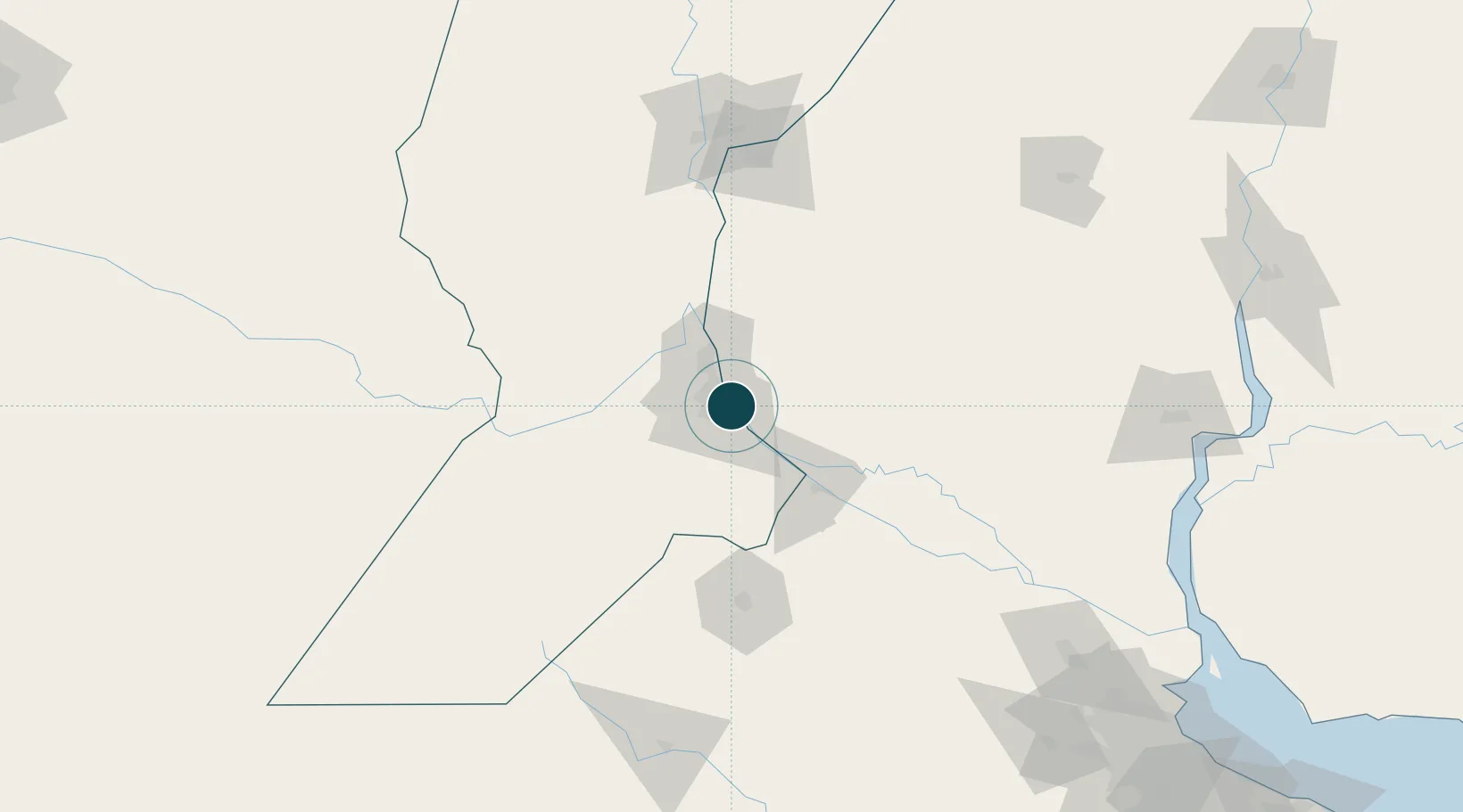
Location
Container Terminals · 1
TERMINAL PUERTO ROSARIO
TROSA TERMINAL PUERTO ROSARIO S.A.
Nearby Logistics Neighbours
Ports
- 1San Lorenzo24 km
- 2Puerto San Martin28 km
- 3Villa Constitucion42 km
- 4San Nicolas57 km
- 5Ramallo83 km
Cities
- 1Soldini14 km
- 2Capitan Bermudez17 km
- 3Funes18 km
- 4Fray Luis A. Beltrán21 km
- 5San Martin28 km
Airports
Trade Zones
- 1Zona Franca UPM223 km
- 2UPM Fray Bentos Free Zone223 km
- 3Nueva Palmira Free Zone231 km
- 4Zona Sur Buenos Aires272 km
- 5Montes de Plata Free Zone278 km
DatabookThe Record of Consolidated Knowledge
Argentina beyond logistics?