Transport Functions
Rail
Road
Hub Profile
Place type
Provincial seat
Region
Buenos Aires
Population
91,399
Time zone
America/Argentina/Buenos_Aires
Elevation
62 m
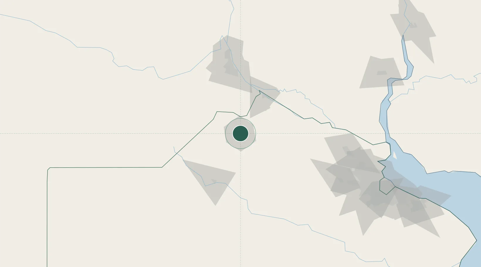
Location
Nearby Logistics Neighbours
Cities
- 1Alvear25 km
- 2Arrecifes47 km
- 3Colón51 km
- 4Campo Salto54 km
- 5San Nicolás de los Arroyos69 km
Ports
- 1Ramallo68 km
- 2San Nicolas69 km
- 3Villa Constitucion75 km
- 4San Pedro77 km
- 5Rosario104 km
Airports
Trade Zones
- 1Nueva Palmira Free Zone198 km
- 2Zona Sur Buenos Aires208 km
- 3Zona Franca UPM230 km
- 4UPM Fray Bentos Free Zone230 km
- 5Montes de Plata Free Zone235 km
DatabookThe Record of Consolidated Knowledge
Argentina beyond logistics?