Export Processing Zone · Argentina

Zona Sur Buenos Aires Active
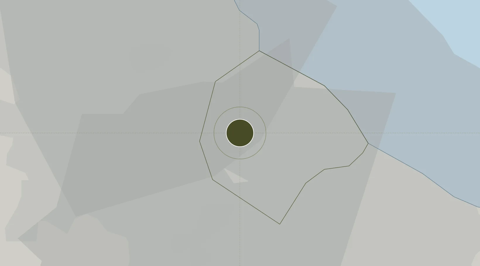
-34.6420°, -58.5021°
25 ha
Zone area
13.2 km
Nearest port
10.7 km
Nearest airport

Gateway access

Nearest neighbours — logibook spatial index (haversine) over the source coordinates

Zone profile

Zone type
Export Processing Zone
Open Zone Map
Region
Ciudad de Buenos Aires
Open Zone Map
Status
Active
Open Zone Map
Management
Public-Private Partnership
Open Zone Map
Operator
Zona Franca Buenos Aires Sur, SA
Open Zone Map
Legal framework
Law No 24.331 of Free Zones, External Note N1/2008
Open Zone Map

Location

Location of ozm-39
Natural Earth 10m (public domain) · Ciudad de Buenos Aires · ozm-39 · -34.64, -58.50GoogleOSMYandex

Nearby Logistics Neighbours

Ports
  1. 1Buenos Aires13 km
  2. 2La Plata60 km
  3. 3Colonia63 km
  4. 4Campana69 km
  5. 5Zarate79 km
Nearest neighbours — logibook spatial index (haversine) over the source coordinates
Airports
  1. 1El Palomar Airport11 km
  2. 2Aeroparque Jorge Newbery12 km
  3. 3Ezeiza International Airport - Ministro Pistarini20 km
  4. 4San Fernando Airport23 km
  5. 5La Plata Airport67 km
Nearest neighbours — logibook spatial index (haversine) over the source coordinates
Cities
  1. 1Mataderos3 km
  2. 2Caseros4 km
  3. 3Pablo Podestá5 km
  4. 4San Justo5 km
  5. 5Villa Bosch9 km
Nearest neighbours — logibook spatial index (haversine) over the source coordinates
Trade Zones
  1. 1La Plata Free Trade Zone59 km
  2. 2Montes de Plata Free Zone62 km
  3. 3Colonia Free Zone64 km
  4. 4Nueva Palmira Free Zone84 km
  5. 5Colonia Suiza Free Zone122 km
Nearest neighbours — logibook spatial index (haversine) over the source coordinates
DatabookThe Record of Consolidated Knowledge
Argentina beyond logistics?
Browse databook

All Sources

Trade ZonesOpen Zone Map
CC BY
Portsthe NGA World Port Index
Public domain (US gov)
AirportsOurAirports
Public domain
LocationsUN/LOCODE
UN/LOCODE — free
← Argentina trade zones