UN/LOCODE hub · Argentina
ARPEL
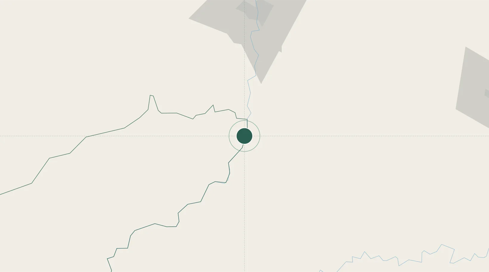
Puerto Eldorado
-26.3500°, -54.6833°
54,189
Population
1
Transport functions
Transport Functions
Port
Hub Profile
Place type
Populated place
Region
Misiones
Population
54,189
Time zone
America/Argentina/Cordoba
Elevation
102 m
Location
Nearby Logistics Neighbours
Cities
- 1Puerto Wanda43 km
- 2San José52 km
- 3Ruiz de Montoya79 km
- 4Foz do Iguaçu91 km
- 5Ciudad del Este96 km
Ports
- 1Puerto De Asuncion324 km
- 2Porto Alegre531 km
- 3Tramandai602 km
- 4Sao Francisco603 km
- 5Itajai605 km
Airports
Trade Zones
- 1Zona Franca Puerto Iguazu Free Trade Zone84 km
- 2Zona Franca Global95 km
- 3Zona Franca Internacional95 km
- 4Rivera Free Zone518 km
- 5ZPE de Bataguassú (MS)567 km
DatabookThe Record of Consolidated Knowledge
Argentina beyond logistics?