Runway & Layout

Airport Specifications
Airport class
Medium airport
Scheduled service
Yes
Served city
El Soberbio
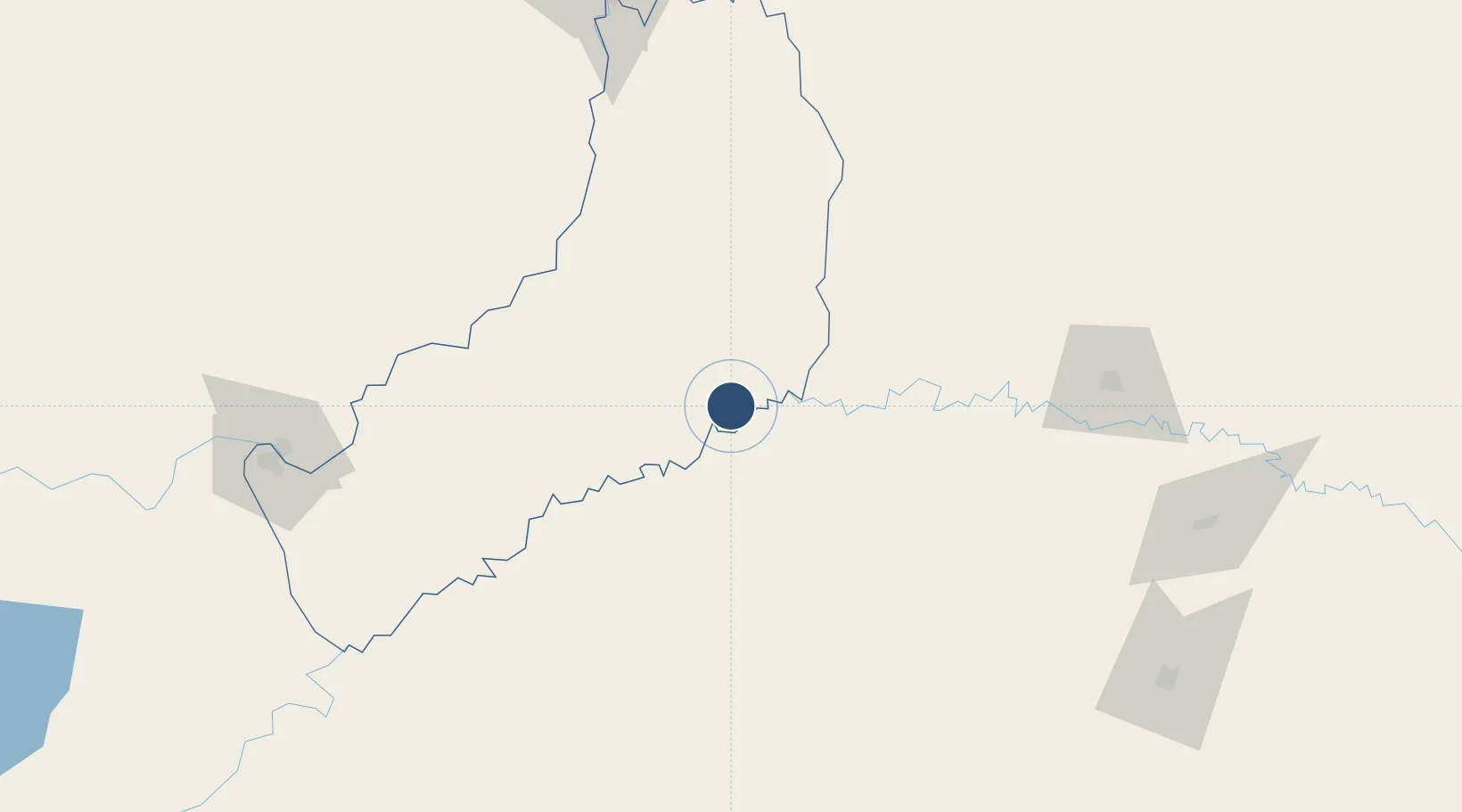
Location
Nearby Logistics Neighbours
Airports
- 1Luis Alberto Lehr Airport91 km
- 2Santo Ângelo Airport123 km
- 3Serafin Enoss Bertaso Airport144 km
- 4Paulo Abdala Airport162 km
- 5Cataratas Del Iguazú International Airport165 km
Cities
- 1Santa Helena56 km
- 2Porto Mauá70 km
- 3Ruiz de Montoya96 km
- 4San José106 km
- 5Puerto Eldorado109 km
Ports
- 1Puerto De Asuncion415 km
- 2Porto Alegre424 km
- 3Tramandai498 km
- 4Pelotas540 km
- 5Itajai543 km
Trade Zones
- 1Zona Franca Puerto Iguazu Free Trade Zone181 km
- 2Zona Franca Internacional197 km
- 3Zona Franca Global197 km
- 4Rivera Free Zone441 km
- 5ZPE de Imbituba (SC)550 km
DatabookThe Record of Consolidated Knowledge
Argentina beyond logistics?